Surveying and Cartography
We provide a full range of surveying and mapping services to create an accurate digital foundation for design, maintain the urban planning cadastre, and implement innovative 3D technologies.

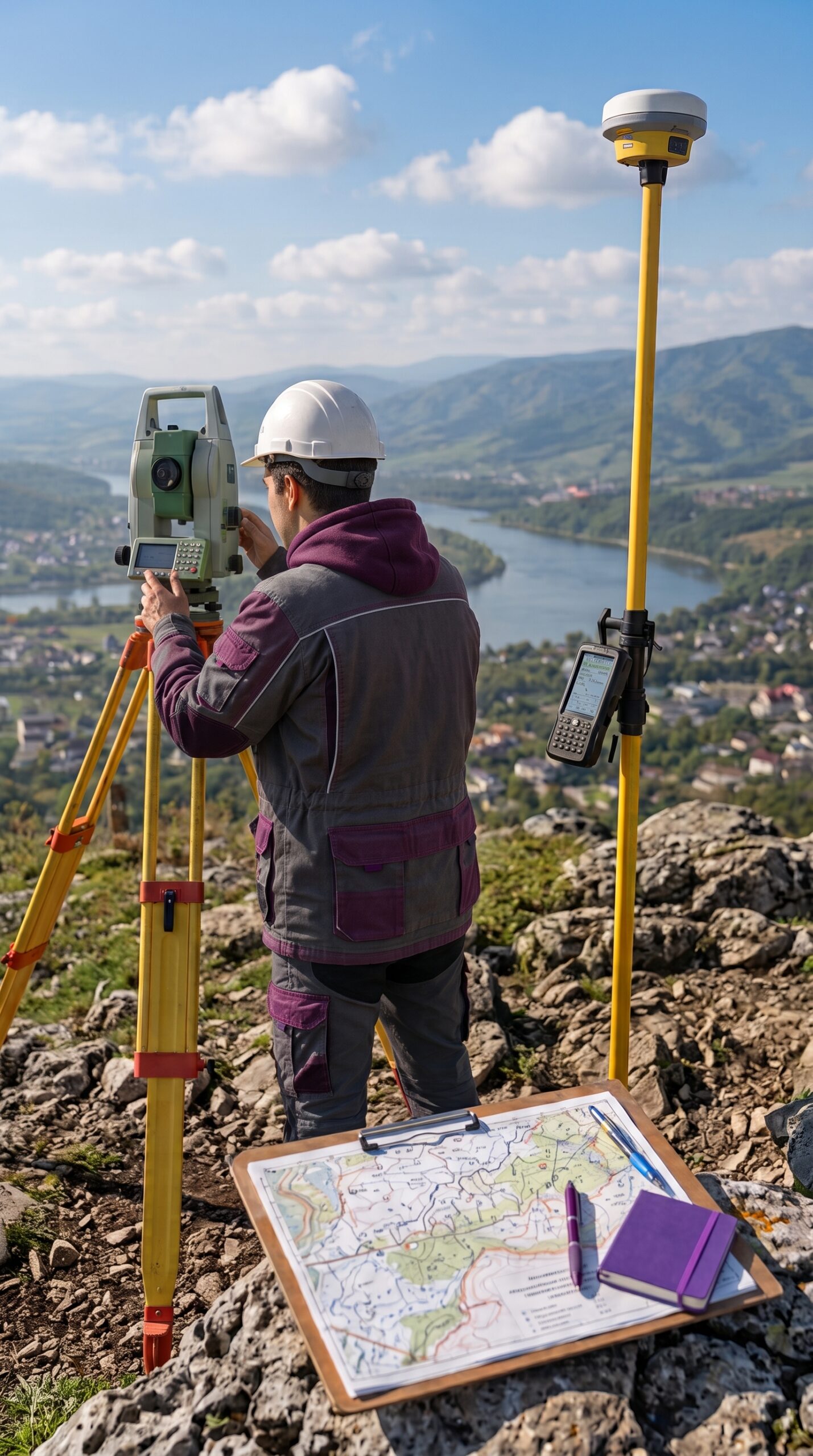

We develop our approach through a systematic and results-oriented approach



A well-defined process, quality control, and compliance with current legislation

We work according to the agreed-upon schedule, ensuring that work is completed on time at every stage of the project.

We carefully check every stage of the work, ensuring high-quality results and compliance with established requirements.
We carry out our work in accordance with current Ukrainian legislation and national building regulations.
We support the project from the initial consultation through the completion of all agreed-upon work.
We maintain constant communication with the client and keep them informed about the progress of the work at every stage.
We develop solutions that take into account the specific characteristics of the area, the needs of the community and local businesses, and the client’s requirements.
Certified specialists with many years of experience work on the projects, ensuring high-quality results.
Analysis of the Territory and Initial Data

Analysis of archival materials, collection of data from the State Geodetic Network, and obtaining permits
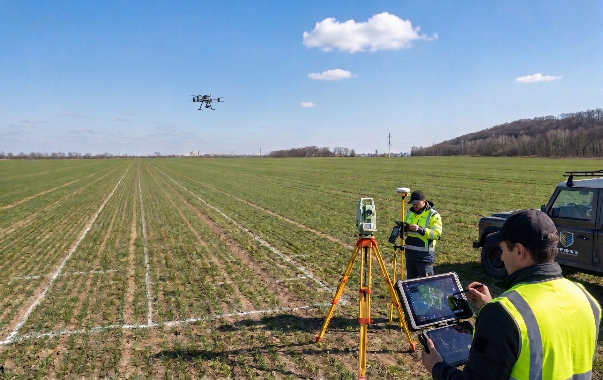
Conducting topographic and geodetic surveys, as well as coordinating and referencing objects on the ground
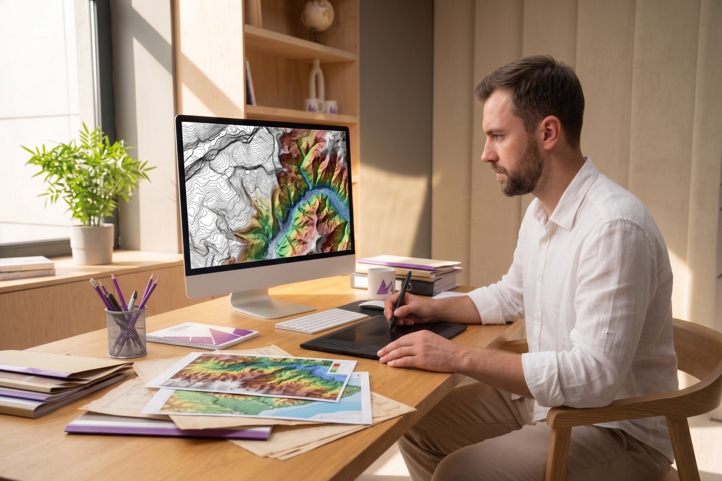
Processing of measurements, creation of a digital elevation model (DEM), and cartographic materials

Approval and submission of materials to the State Cartographic and Geodetic Fund of Ukraine.
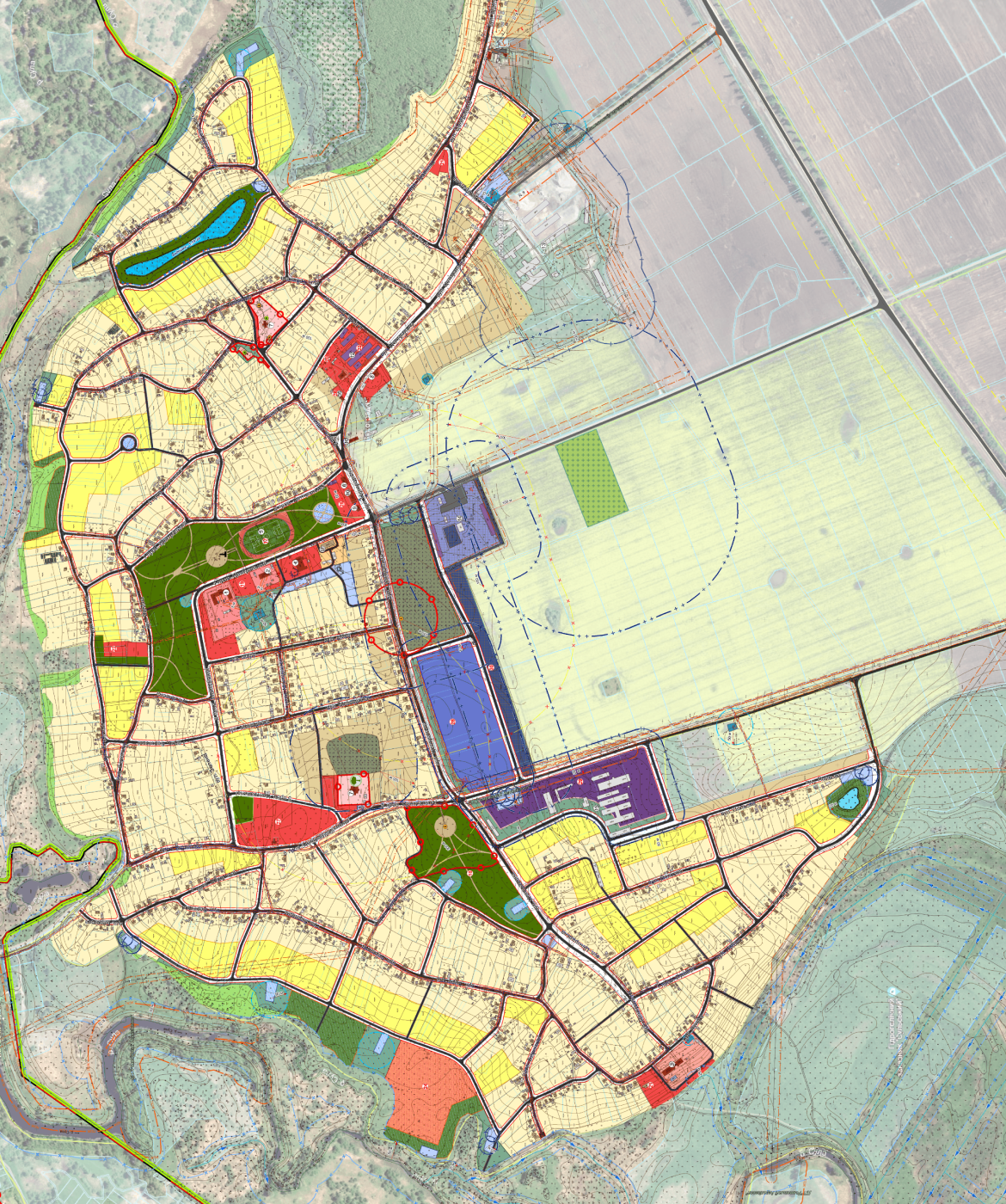
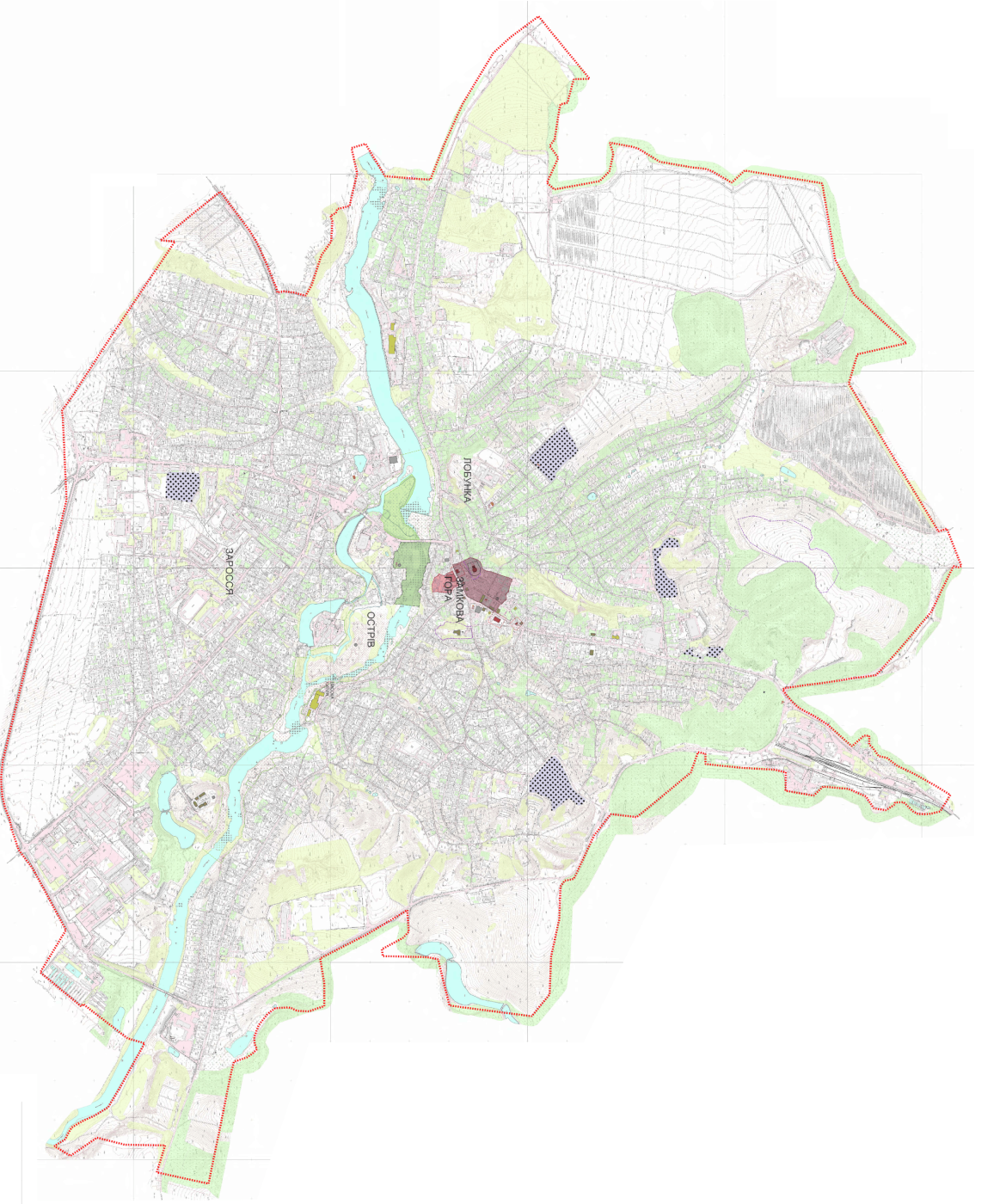
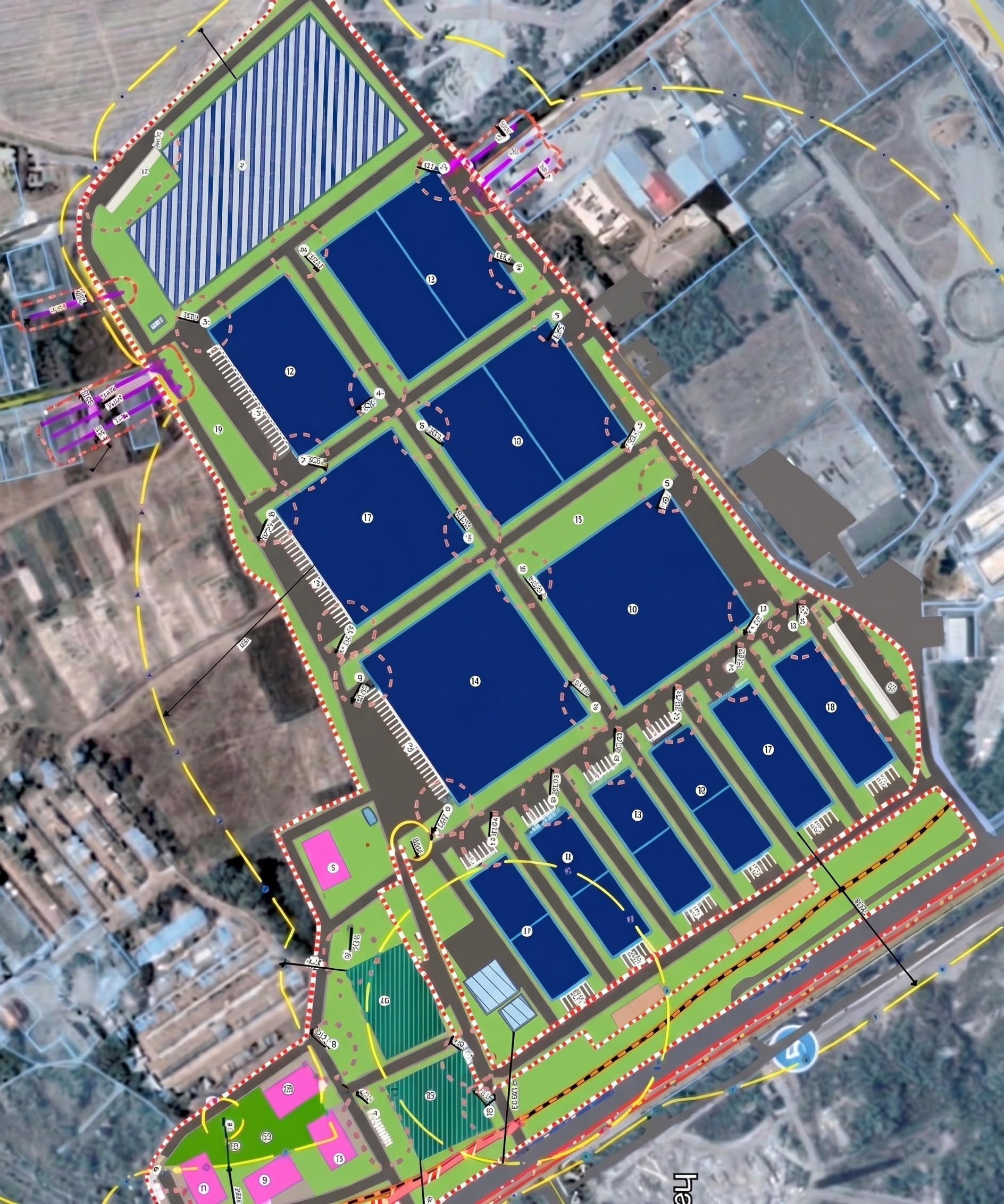
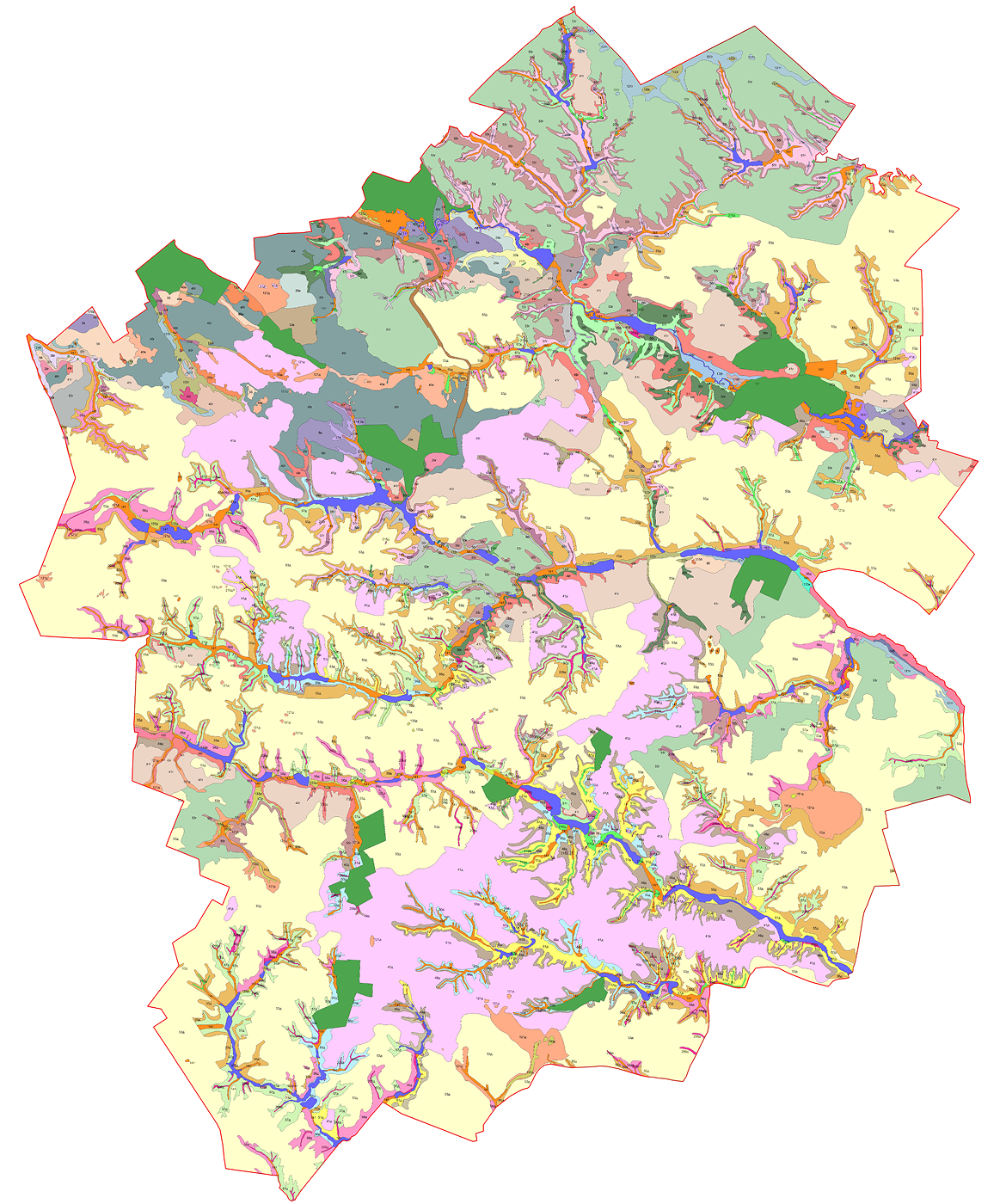
Projects that are already being implemented and are operational in communities
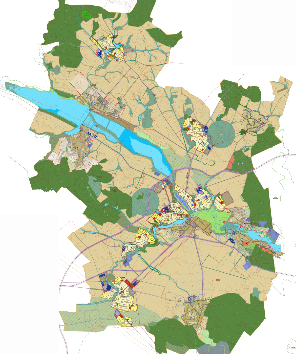

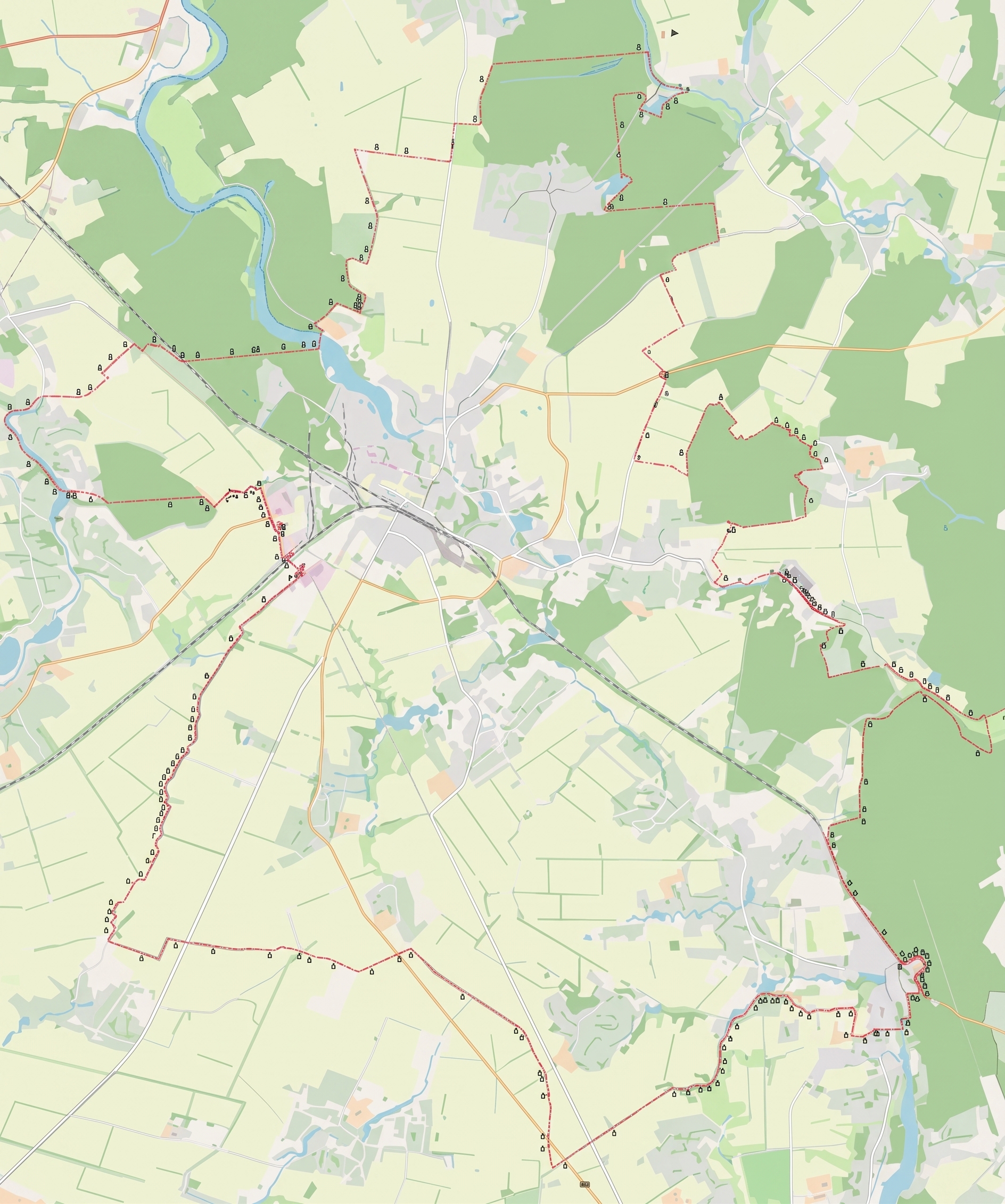
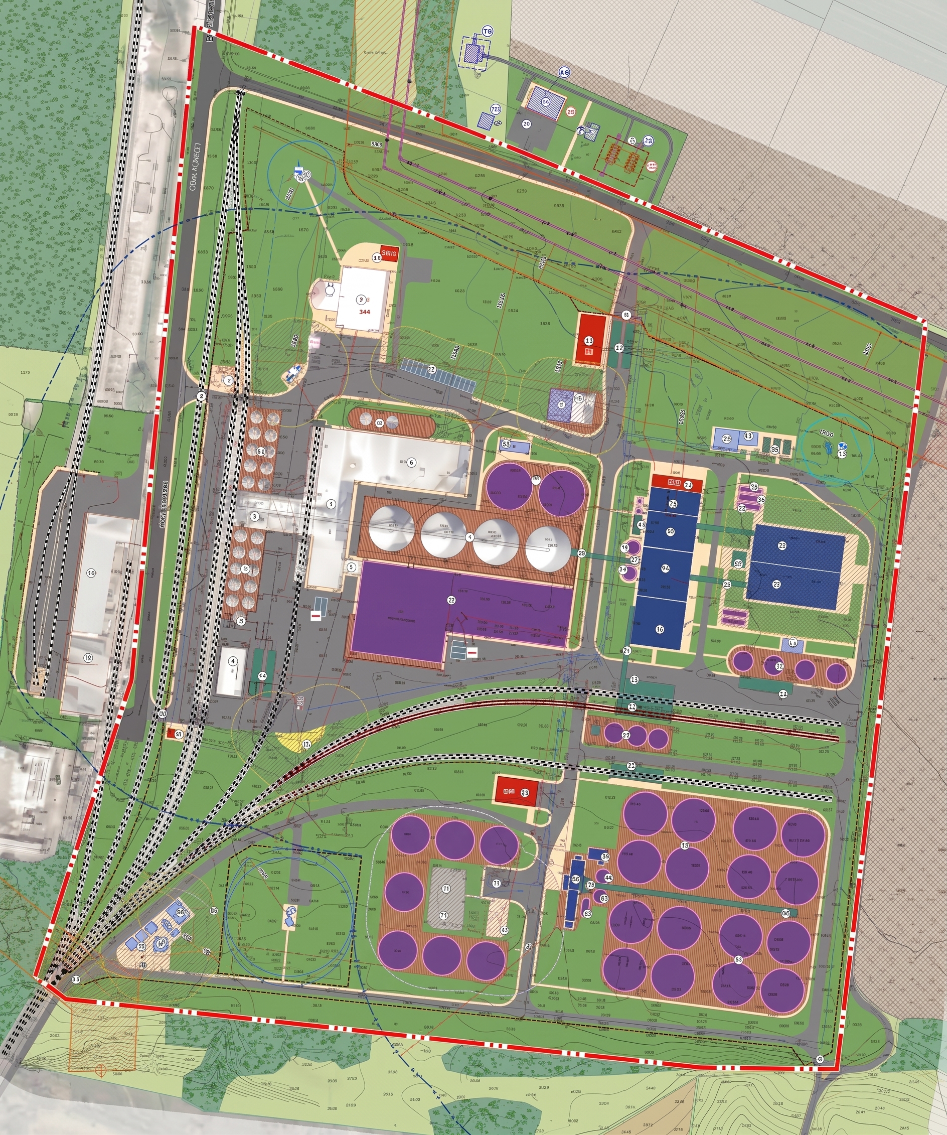
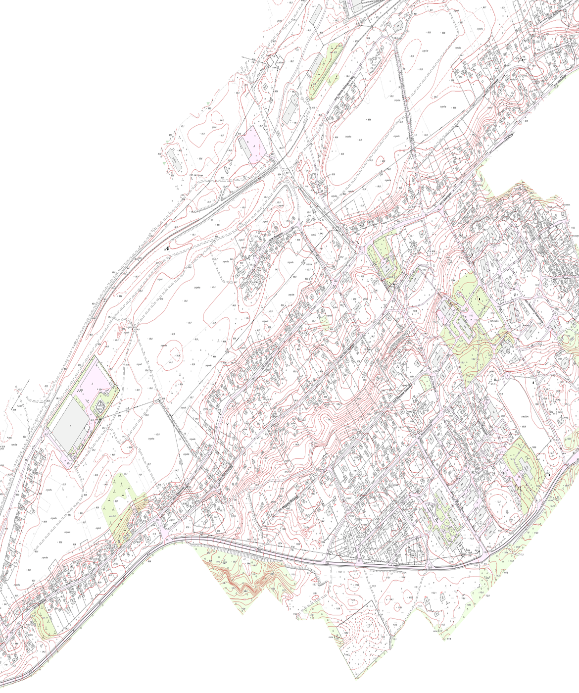
View all projects
learn moreFrequently Asked Questions
Topographic, Geodetic, and Cartographic Work
We create accurate digital maps of the terrain that show topography, above-ground and underground utilities, and structures, which serve as an essential foundation for engineering design and urban planning.
What tasks does it address?
- It performs topographic surveys as a mandatory stage of pre-design work to generate source data, develop project documentation, and obtain expert review for the construction, reconstruction, or major repair of facilities and infrastructure.
- It generates digital terrain models and updates the geospatial framework for the development of urban planning documentation at all levels and land management documentation.
- It carries out the field marking of land parcel boundaries with precise determination of the coordinates of control points and their actual location on the ground.
- Creates and structures geospatial databases in the national coordinate system for their mandatory inclusion in the State Cartographic and Geodetic Fund of Ukraine and integration into GIS systems.
Service recipients
- Executive bodies of village, town, and city councils; executive authorities; as well as Ukrainian and foreign individuals and legal entities, and international organizations that commission engineering surveys, land management, or the development of geographic information systems.
Cadastral Survey
We perform a range of surveying services to determine the boundaries, areas, and contours of land parcels, followed by the upload of geospatial data to the State Land Cadastre.
What problems does it solve?
- Ensures the accurate determination and restoration of land parcel boundaries in the field (on-site).
- It determines the exact coordinates of the boundary control points of land parcels in the national coordinate system for generating exchange files (XML).
- Records the location of permanent structures, facilities, and linear engineering infrastructure objects present on the land parcel.
- Generates graphical materials, which serve as the mandatory basis for the subsequent creation of the land parcel’s cadastral plan.
Service recipients
- Individuals and legal entities, local government bodies, and state agencies that act as legitimate requesters of land management documentation for the privatization, lease, division, consolidation, or redemption of land parcels.
Laser Scanning
We perform high-precision 3D scanning of objects and terrain to quickly create detailed three-dimensional digital models, engineering plans, and records of architectural forms.
What tasks does it solve?
- It ensures high-precision and rapid collection of spatial data by creating point clouds to generate detailed three-dimensional digital models of terrain, buildings, and structures.
- It allows for the precise recording of the actual geometric parameters of any terrain features, topography, and natural or man-made objects for their subsequent design, construction, reconstruction, or geodetic monitoring.
- It reduces the time required for engineering and geodetic surveys over large areas or in hard-to-reach territories using aerial and ground-based laser scanning.
- Creates a high-density geodetic framework for developing construction drawings, monitoring the deformation of building structures, and calculating earthwork volumes.
- Generates geospatial data sets in a specified coordinate system for integration into modern GIS platforms, Building Information Modeling (BIM) technologies, as well as into state and local urban planning cadastres.
Service recipients
- Executive authorities, local government bodies, Ukrainian and foreign legal entities and individuals, as well as international organizations that commission or finance engineering and geodetic surveys for the purposes of design, construction, cadastral management, or cultural heritage preservation.
Get a bespoke
Describe your project—we'll suggest the best solution and workflow.
Start a partnership