Land Use Planning and Cadastre
We provide comprehensive services for the formation of land parcels, the establishment of their boundaries, and the determination of their intended use for the purpose of entering information into the State Land Cadastre and ensuring legal protection of property rights.



We develop our approach through a systematic and results-oriented approach



A well-defined process, quality control, and compliance with current legislation

We work according to the agreed-upon schedule, ensuring that work is completed on time at every stage of the project.

We carefully check every stage of the work, ensuring high-quality results and compliance with established requirements.
We carry out our work in accordance with current Ukrainian legislation and national building regulations.
We support the project from the initial consultation through the completion of all agreed-upon work.
We maintain constant communication with the client and keep them informed about the progress of the work at every stage.
We develop solutions that take into account the specific characteristics of the area, the needs of the community and local businesses, and the client’s requirements.
Certified specialists with many years of experience work on the projects, ensuring high-quality results.
Analysis of the Territory and Initial Data
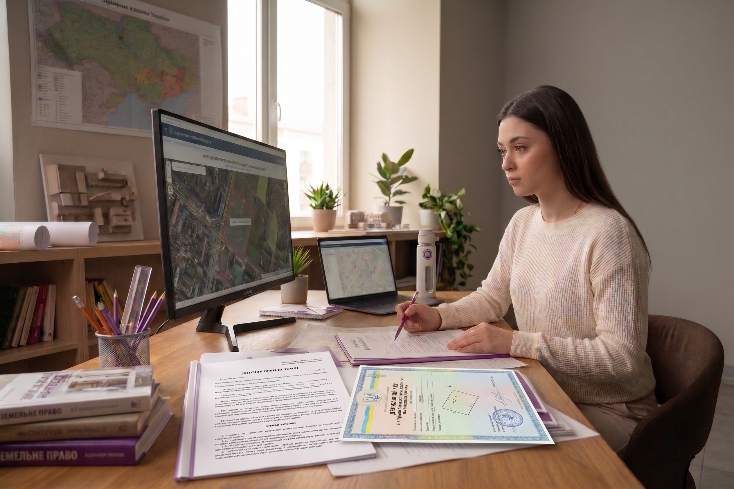
Analysis of title documents, extracts from the State Land Cadastre, and determination of the scope of work
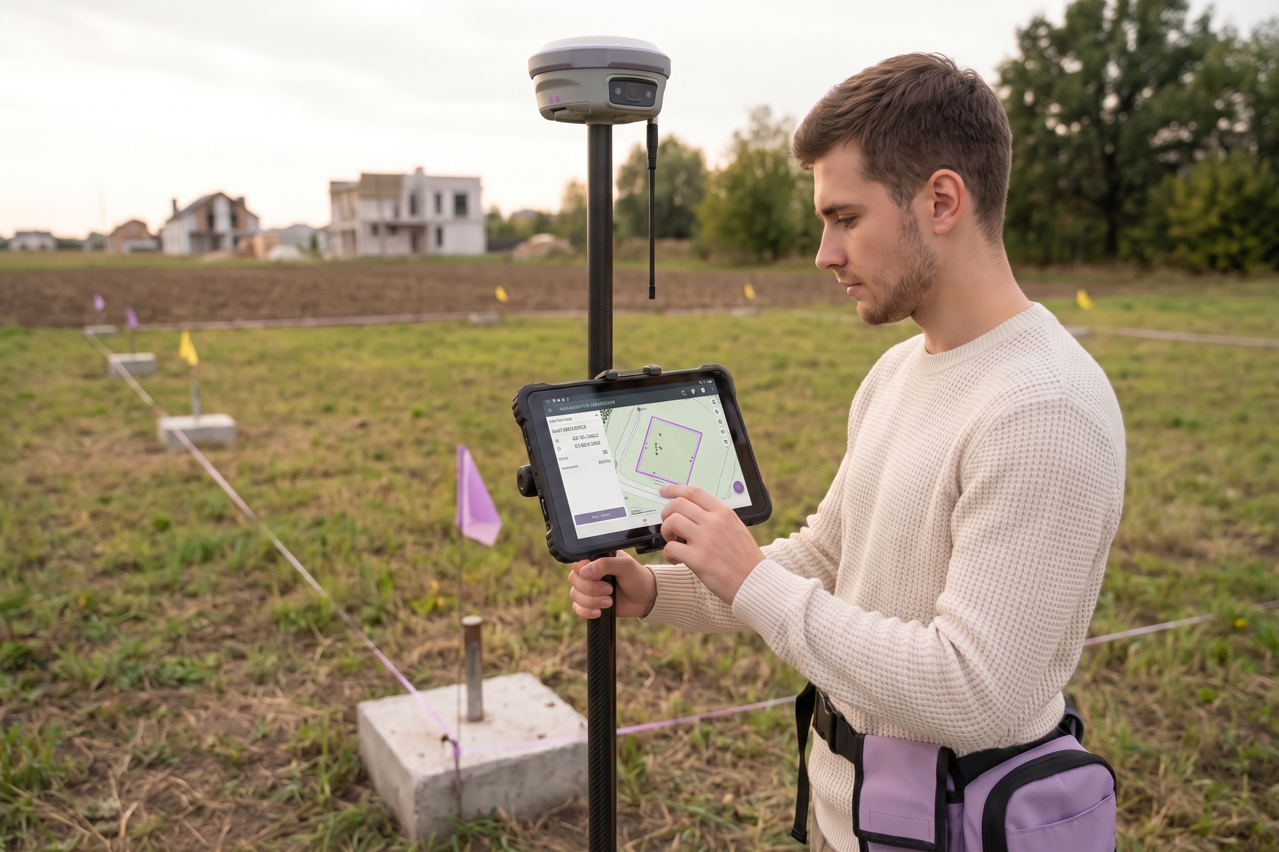
Determining the boundaries of a plot on-site (in the field) and preparing land management documentation

Coordination of documentation with adjacent land users and authorized government agencies
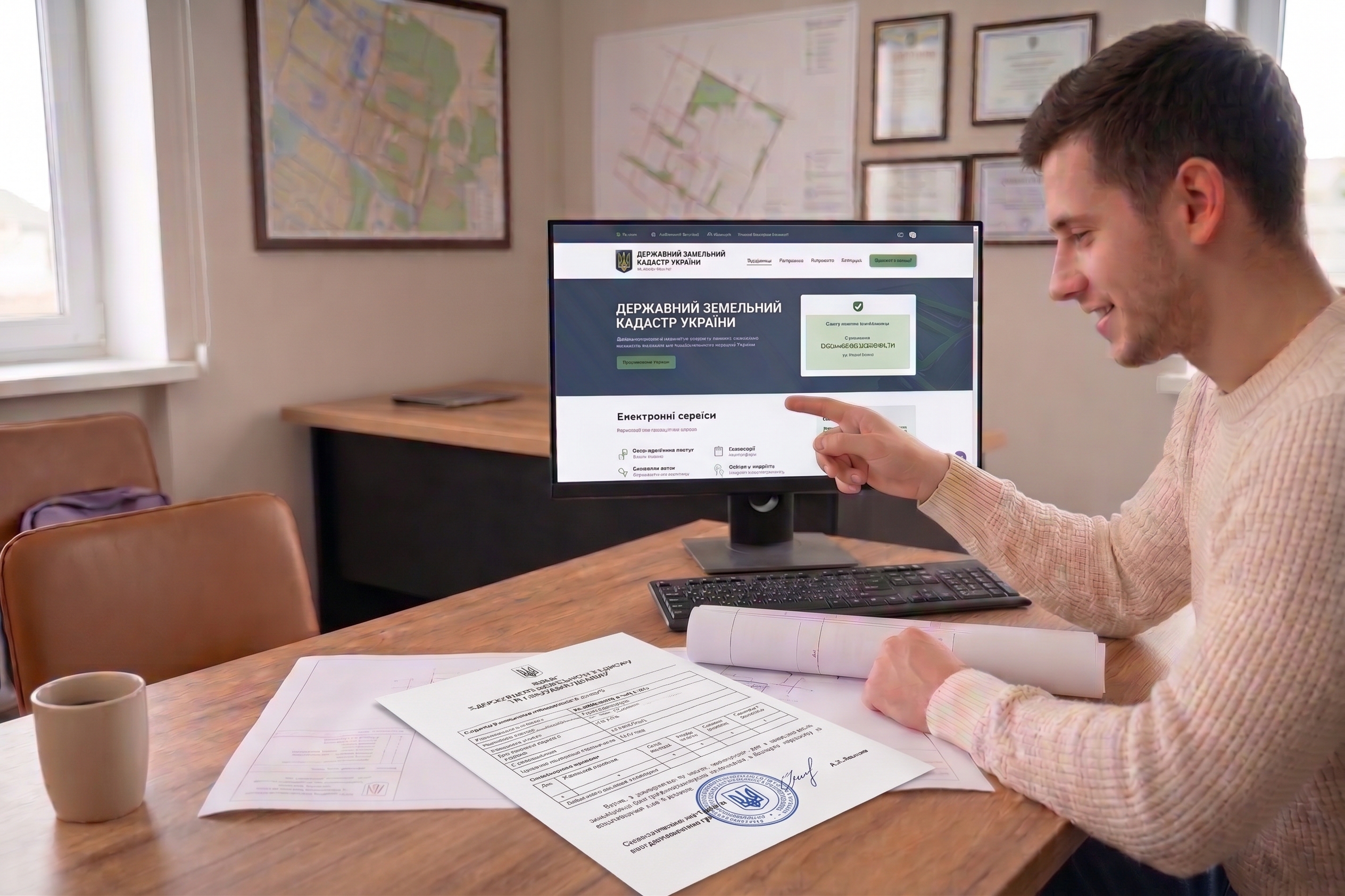
Assistance with the state registration of a land parcel in the State Land Cadastre, including obtaining an extract from the State Land Cadastre

Preparation of the technical report and submission of the documentation package to the client
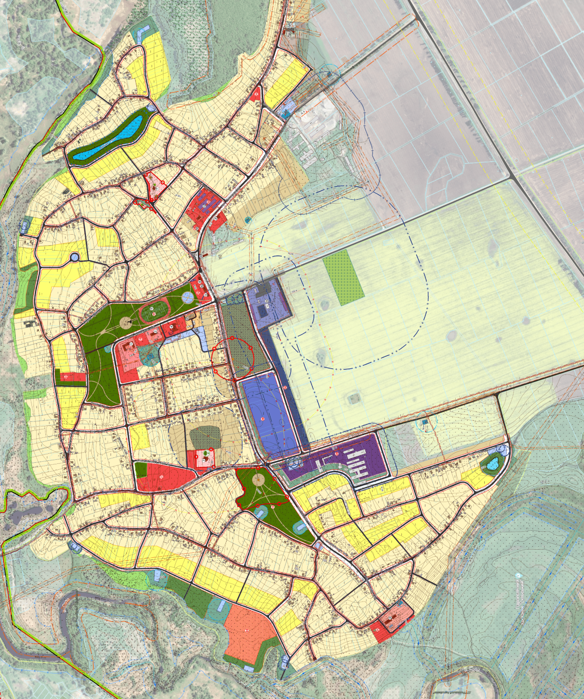
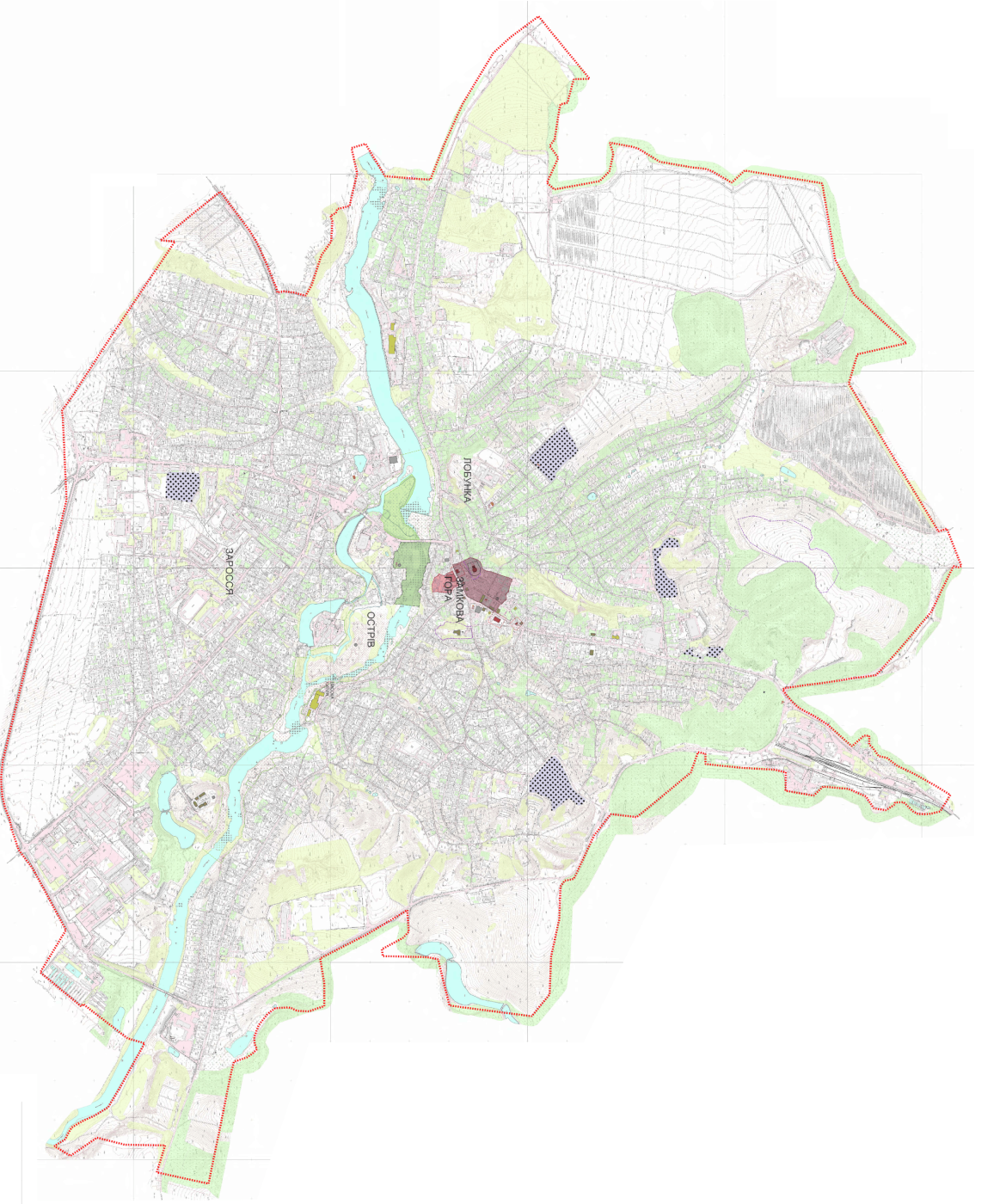
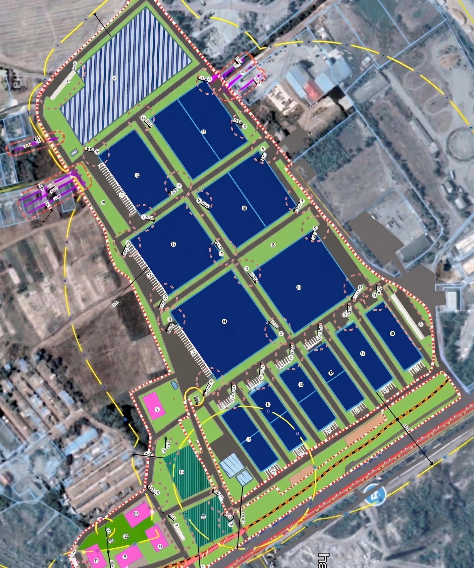
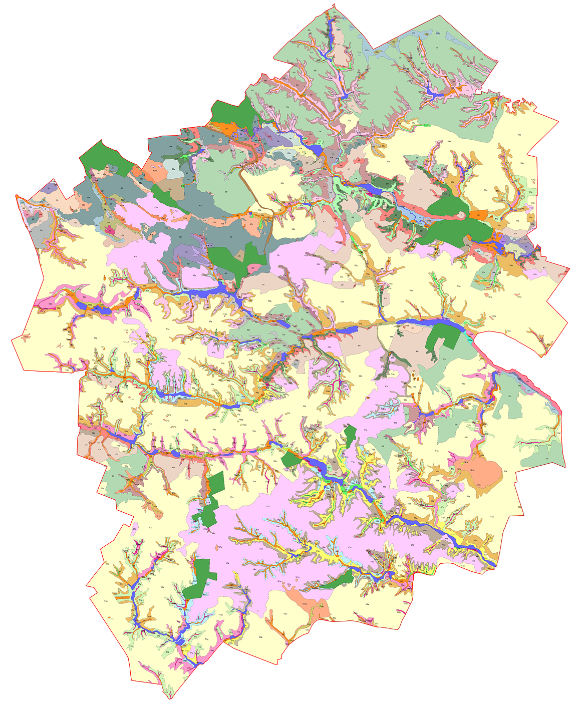
Projects that are already being implemented and are operational in communities
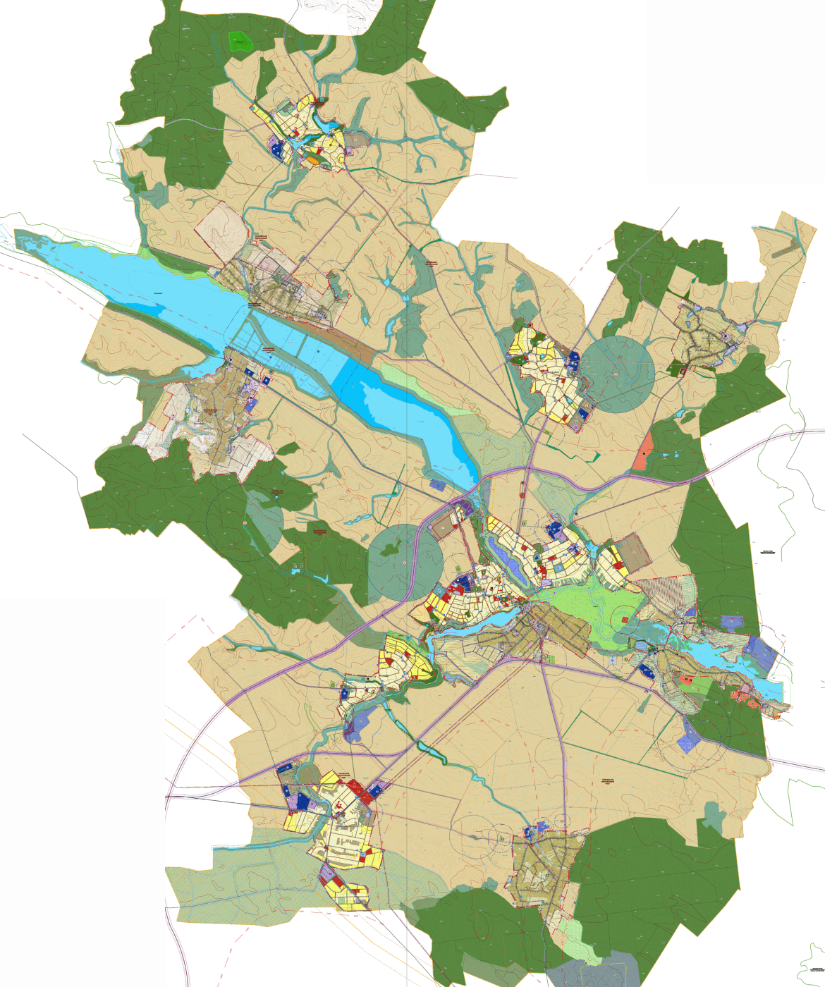

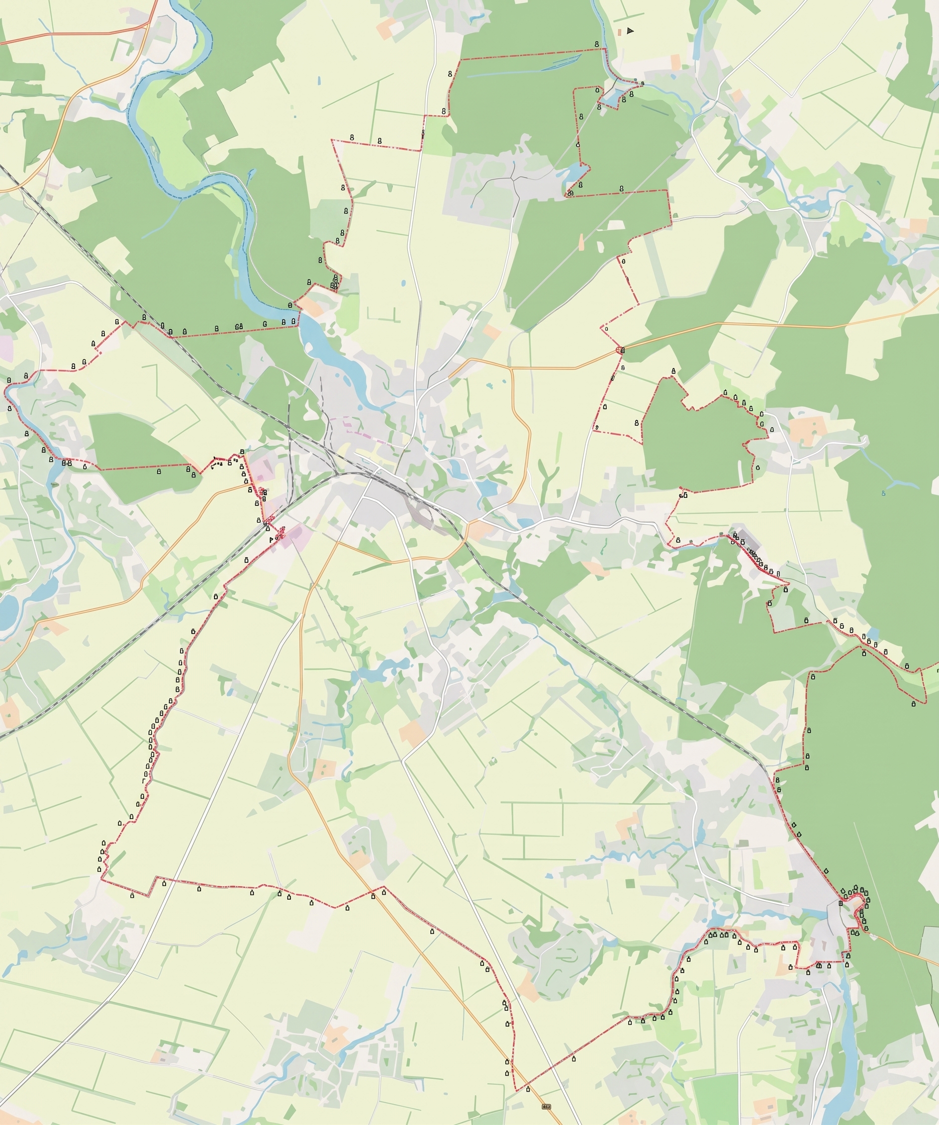
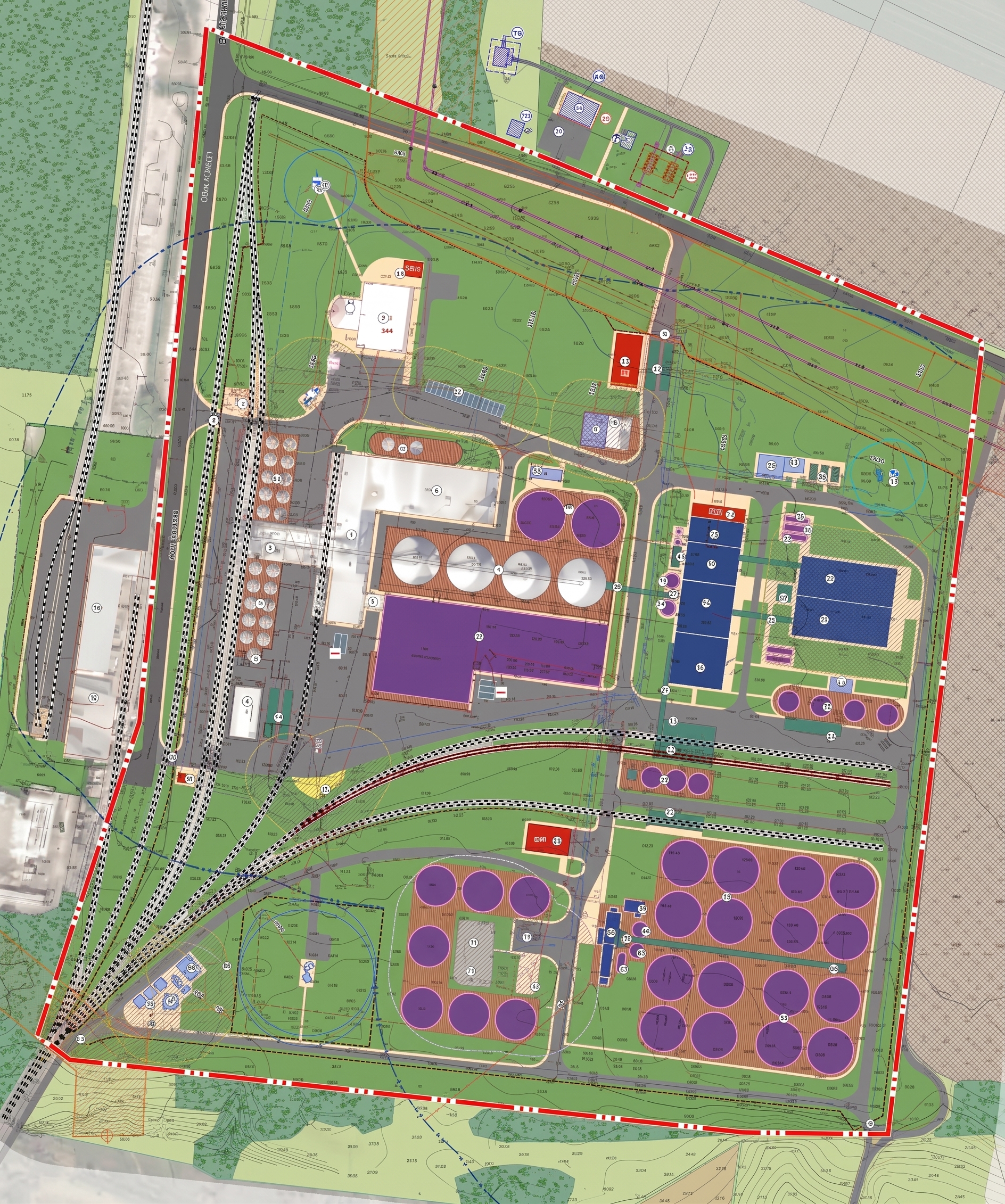
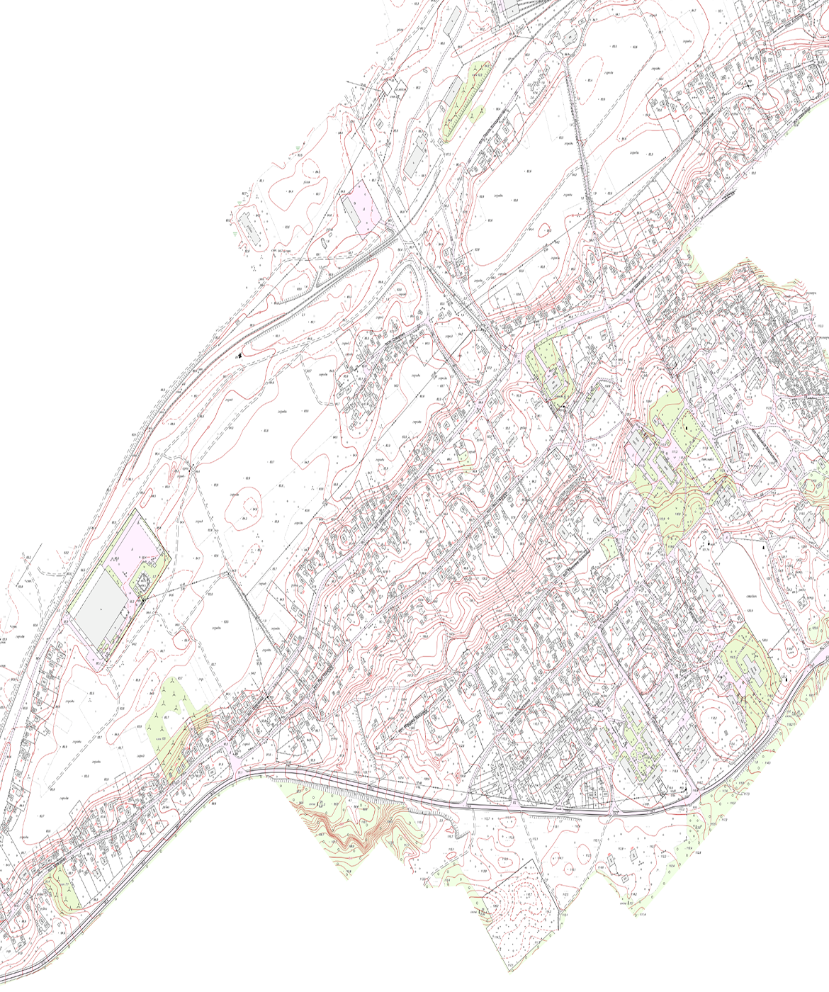
View all projects
learn moreFrequently Asked Questions
Land-use planning project for establishing the boundaries of territorial communities and establishing (or amending) the boundaries of settlements
We prepare land management documentation to legally define the boundaries of communities, districts, or settlements and register them in the State Land Cadastre.
What issues does it address?
- It defines and legally establishes the external boundaries of the entire territorial community to clearly delineate the jurisdiction and powers of local self-government bodies.
- Ensures the development of draft decisions regarding the establishment or modification of the boundaries of cities, towns, and villages with the aim of expanding their territories for future development or infrastructure projects.
- Generates accurate geospatial data and electronic coordinates of boundaries to resolve existing land-use and territorial disputes between communities.
- Serves as a tool for the legal implementation of decisions under Comprehensive Spatial Development Plans and Master Plans when incorporating new land parcels into the boundaries of settlements.
- It ensures that information on the approved boundaries of communities and settlements is entered into the State Land Cadastre (SLC).”
Service recipients
- The executive bodies of village, town, and city councils, as well as district and regional state administrations, which are, by law, the sole authorized entities to commission the development of land management projects for establishing and changing administrative boundaries.
Land Inventory
We carry out a range of services related to the formation of land parcels, the determination of their boundaries, areas, and legal status in order to populate the State Land Cadastre and identify unused resources.
What tasks does it address?
- It ensures the determination of the location of land management objects, their boundaries, dimensions, and legal status, as well as the identification of land that is unused or used for purposes other than its intended use.
- It identifies discrepancies between the data in title documents and the actual use of land parcels in terms of area and boundaries.
- It ensures the formation of state- and municipally-owned land parcels that have not been previously formed, assigning cadastral numbers to them.
- Defines the boundaries of agricultural land parcels and prepares inventory plans to optimize land use.
- It compiles a database and technical documentation to ensure that up-to-date information on land parcels and restrictions on their use is entered into the State Land Cadastre.
Service recipients
- Local governments and executive authorities—for conducting an inventory of municipally and state-owned land or tracts of agricultural land, as well as legal entities and individuals (landowners and land users)—for conducting inventories of individual land parcels.
Establishment and Change of Land Use Designation
We justify and ensure the entry into the State Land Cadastre of information regarding the establishment or change of a land parcel’s designated use code in accordance with the approved urban planning documentation.
What tasks does it address?
- It covers the design and determination of the geometric parameters of a land parcel (boundaries, area) for its initial establishment as an object of civil rights and the subsequent assignment of a cadastral number.
- It changes the current designated use of a land plot to enable its use for new investment, industrial, or development projects.
- Justifies the establishment of land categories and types of designated use in accordance with approved urban planning documentation (comprehensive plans, master plans, or detailed planning documents).
- Implements a simplified procedure for changing land use designations based on urban planning regulations without the mandatory development of a separate land management project.
- Ensures the collection and approval of technical documentation or land management projects and the entry of updated information on the functional use of the plot into the State Land Cadastre.
Service recipients
- Local governments and executive authorities—for establishing and changing the designated use of municipally and state-owned land—as well as individuals and legal entities (landowners or land users)—for changing the use of privately owned or leased land.
Standard Monetary Valuation
We calculate the capitalized rental income from the land parcel to determine the amount of land tax, rent, and state fees in accordance with the law.
What tasks does it address?
- It calculates the base value of land parcels based on capitalized rental income in accordance with state standards to determine the amount of land tax and rent.
- Establishes the financial and economic basis for calculating state fees in cases of inheritance, gifts, or the conclusion of other civil law agreements.
- Justifies the extent of losses in agricultural and forestry production, as well as damages resulting from the deterioration of land quality in cases specified by law.
- It provides for the development of technical documentation for subsequent approval by local government bodies and the entry of information into the State Land Cadastre.
Service recipients
- Local governments—to appraise land throughout an entire settlement or community, as well as individuals and legal entities (owners or lessees)—to determine or update the appraisal of individual land parcels.
Other types of land management documentation
We develop documentation tailored to the client’s specific needs regarding the establishment of boundaries for lands designated for various purposes, water fund lands, restrictions on land use and related regulatory objects, as well as for the planning and organization of territories, the division and consolidation of land parcels, and so on.
Other Types of Possible Documentation
- Development of land-use plans and technical and economic justifications for the use and protection of land in administrative-territorial units and the territories of territorial communities.
- Preparation of land management projects for the reorganization of territories to meet urban planning needs.
- Implementation of working land management projects for the reclamation of disturbed lands, the removal and relocation of the topsoil, and the conservation, improvement, or protection of agricultural lands.
- Development of technical land management documentation regarding the division and consolidation of land parcels.
- Preparation of technical land management documentation for establishing the boundaries of cultural heritage sites that define protected zones.
Service recipients
- Executive authorities and local government bodies, enterprises in the agribusiness, construction, and industrial sectors, as well as private and corporate owners and users of land parcels.
Get a bespoke
Describe your project—we'll suggest the best solution and workflow.
Start a partnership