GIS
We create digital maps, geoportals, and geospatial databases to support effective land management, automate urban planning registries, and facilitate management decision-making.



We develop our approach through a systematic and results-oriented approach



A well-defined process, quality control, and compliance with current legislation

We work according to the agreed-upon schedule, ensuring that work is completed on time at every stage of the project.

We carefully check every stage of the work, ensuring high-quality results and compliance with established requirements.
We carry out our work in accordance with current Ukrainian legislation and national building regulations.
We support the project from the initial consultation through the completion of all agreed-upon work.
We maintain constant communication with the client and keep them informed about the progress of the work at every stage.
We develop solutions that take into account the specific characteristics of the area, the needs of the community and local businesses, and the client’s requirements.
Certified specialists with many years of experience work on the projects, ensuring high-quality results.
Analysis of the Territory and Initial Data

Analysis of the client's business processes; definition of requirements for the GIS data structure and functionality
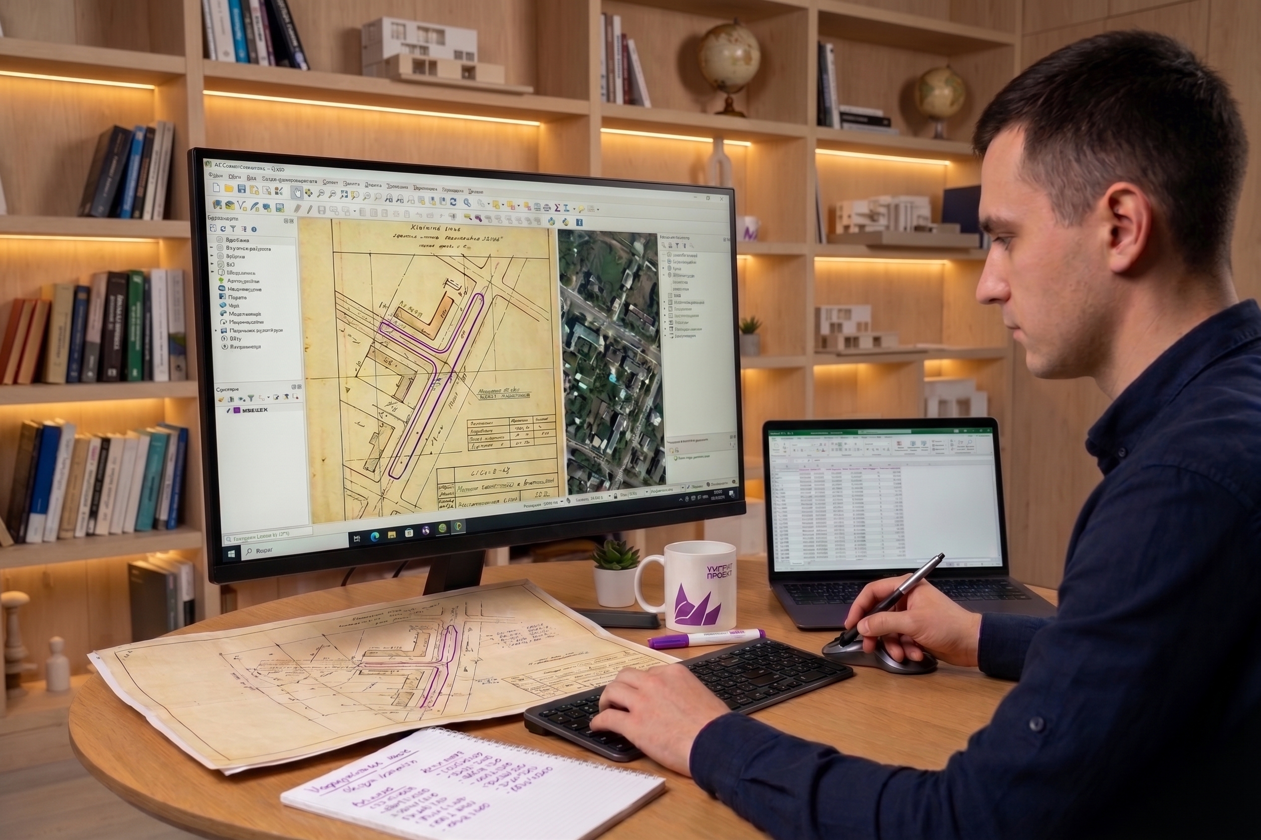
Vector and raster digitization, vectorization, georeferencing, and validation of spatial and attribute data

Developing the structure of a geodatabase, configuring layers, classifiers, and mapping services
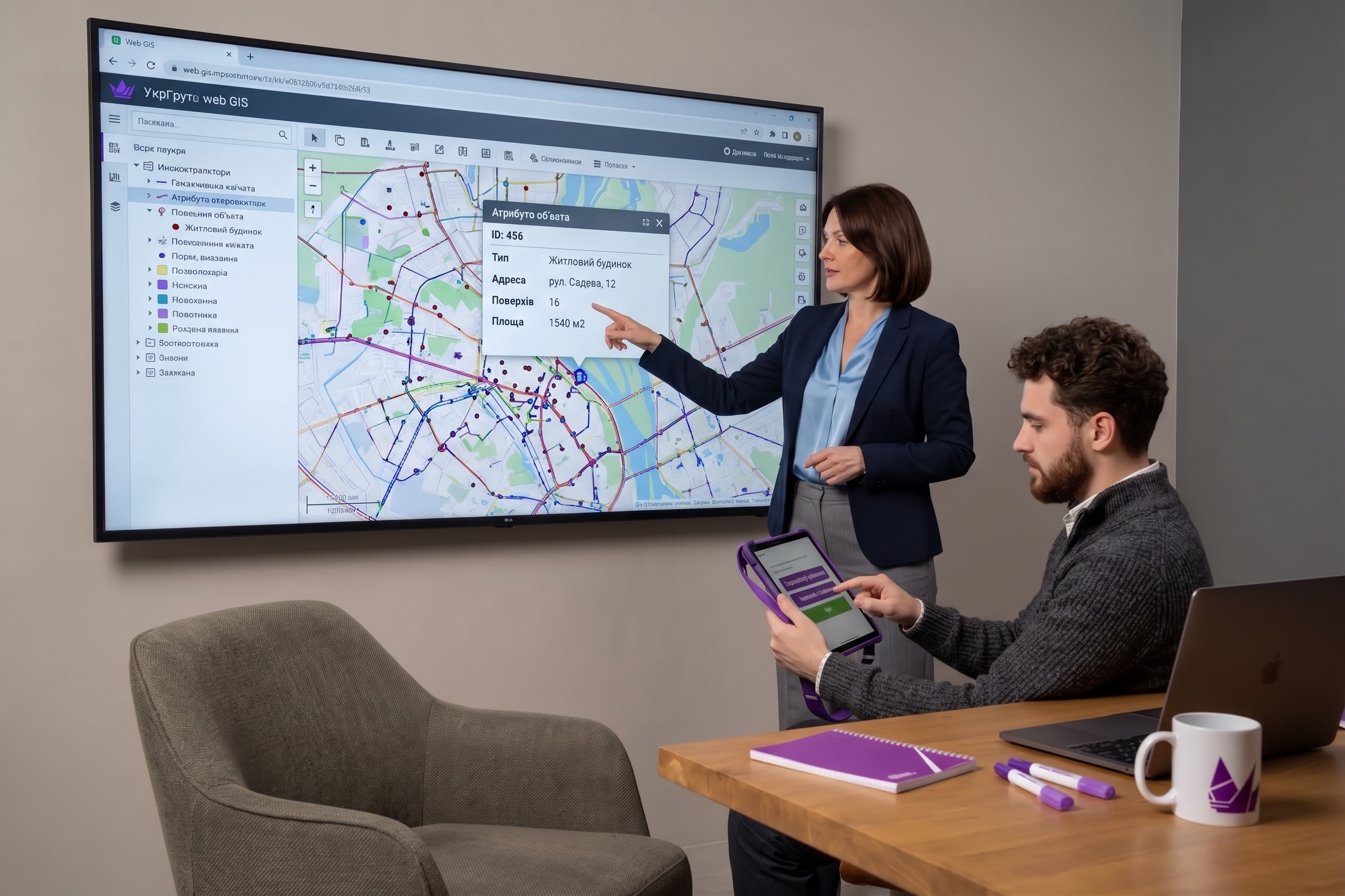
Publishing web maps, configuring analytics modules, and testing the system for correctness

Delivery of the finished solution, deployment on the customer's servers, staff training, and consulting
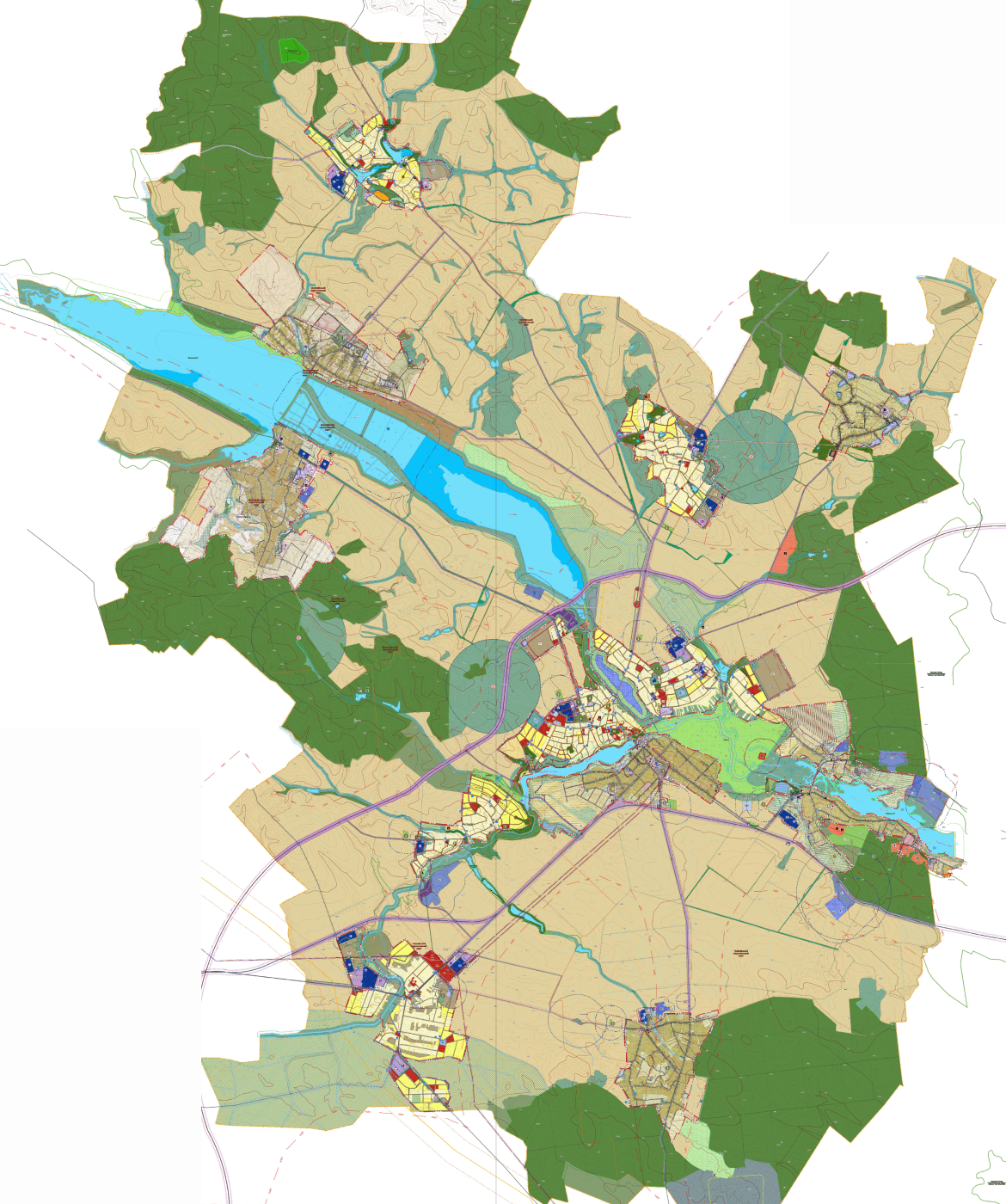
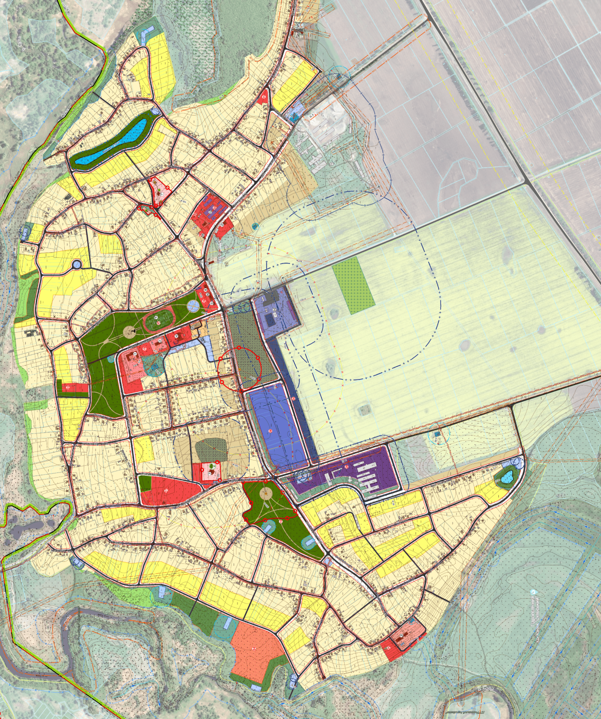
Projects that are already being implemented and are operational in communities

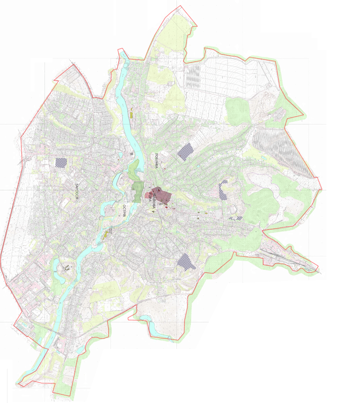
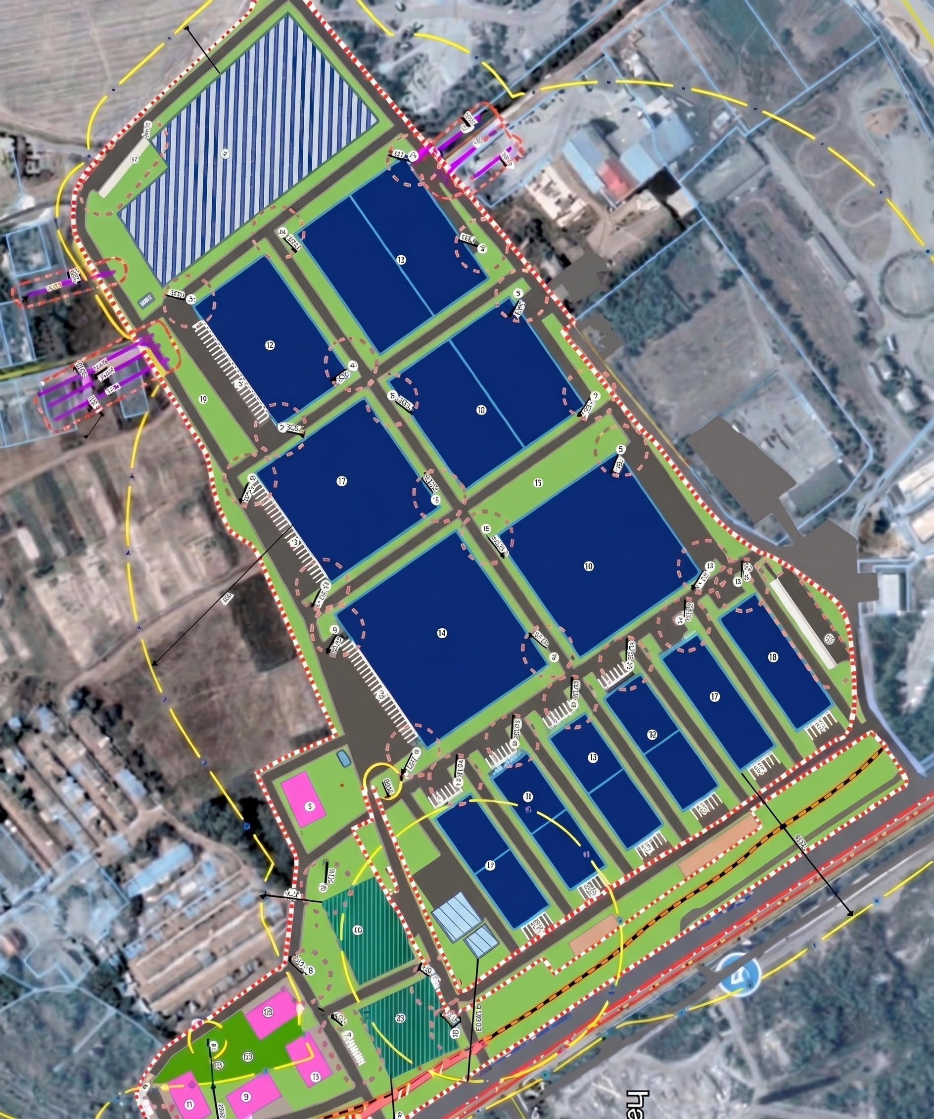
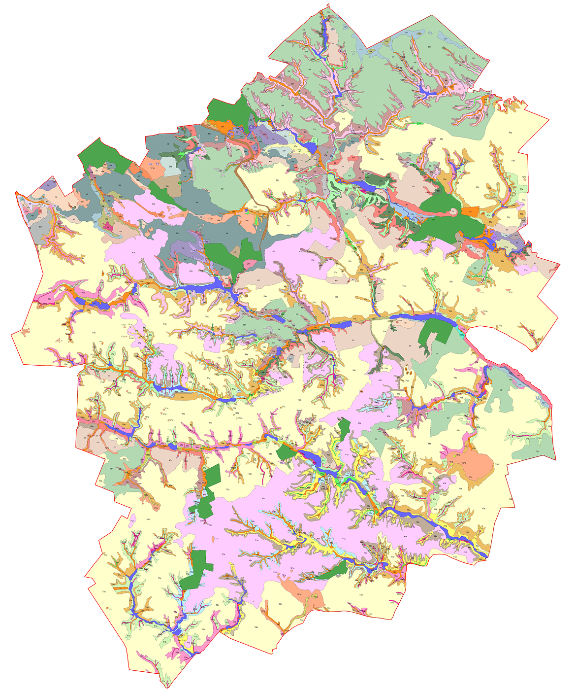
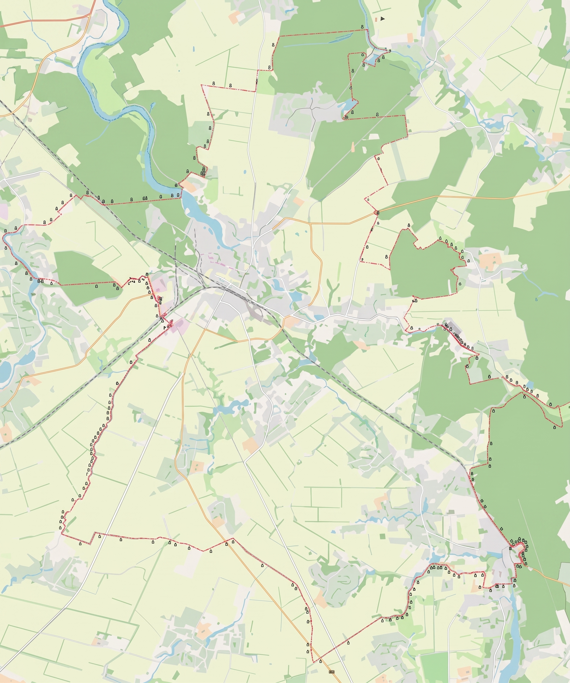
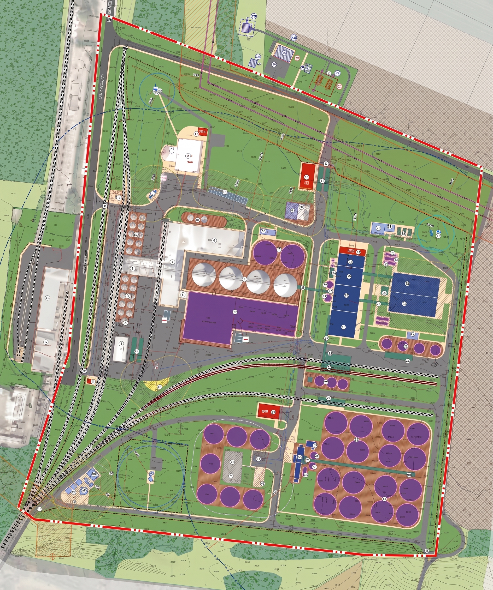
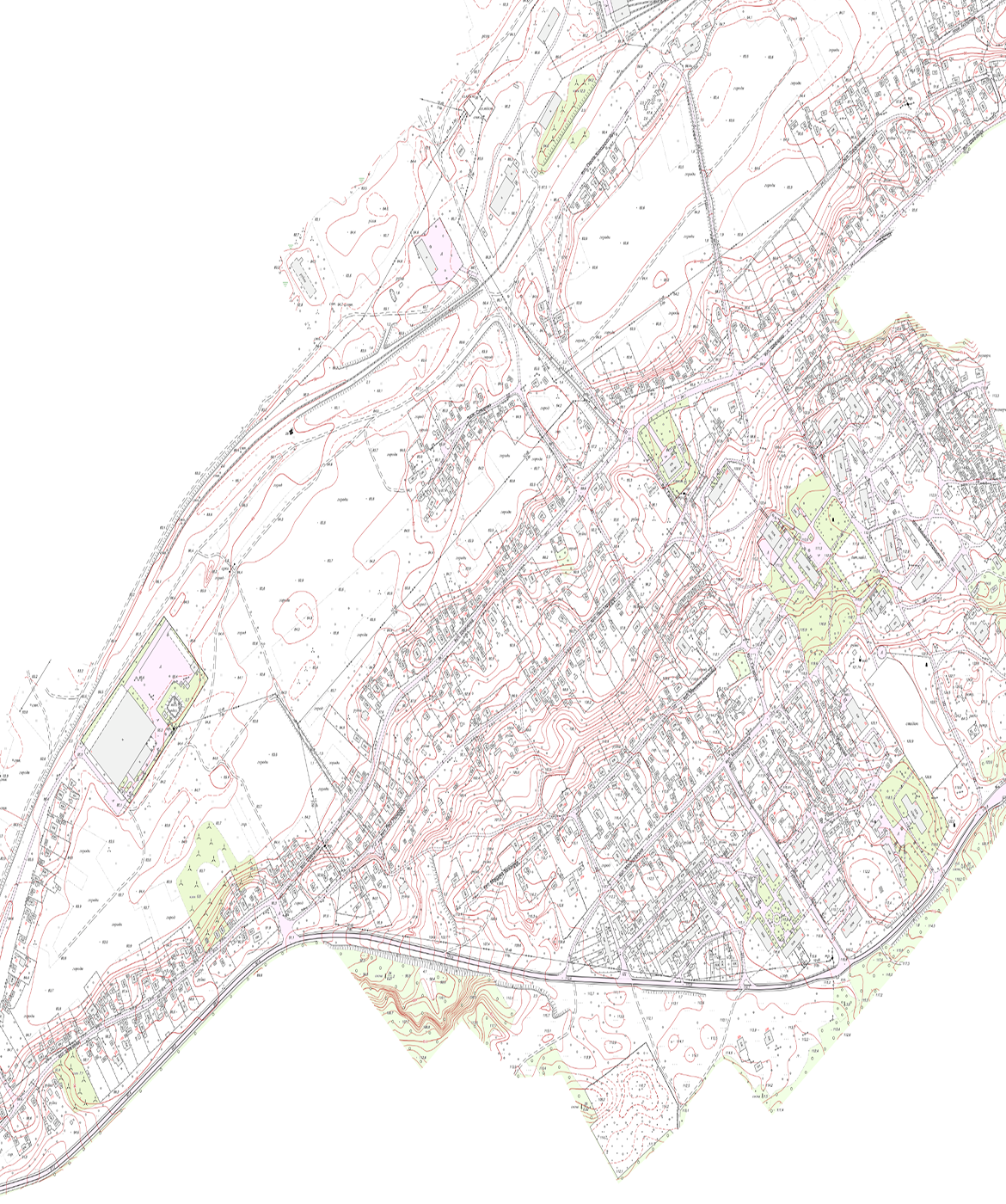
View all projects
learn moreCreating Geoportals
We develop geoportals as local geospatial data hubs for the effective management of community territories and their automatic integration with the national geoportal.
What tasks does it address?
- It ensures the integration, preservation, and visualization of all types of urban planning, land management, and cartographic documentation within a unified digital geographic information system (GIS).
- It automates the processes of maintaining the urban planning cadastre at the local and regional levels, with the ability to promptly update spatial data.
- It provides open or regulated access to geospatial data for government agencies, businesses, and citizens via web services in accordance with international standards.
- Ensures the monitoring of land use, the accounting of municipal property, infrastructure networks, and natural resources of the local community.
- Enables interoperability and automatic data exchange with the National Geospatial Data Infrastructure (NGDI) and the State Electronic Register in the field of construction.
Service recipients
- The executive bodies of village, town, and city councils, as well as district and regional state administrations, which are legally required to ensure the creation, operation, and publication of geospatial data on geoportals at the corresponding level.
Software Delivery
We configure and integrate specialized geographic information system (GIS) software to automate data collection processes and maintain the urban planning cadastre.
What problems does it solve?
- Creating data-driven maps to identify patterns, correlations, and trends in space.
- Monitoring the condition of facilities, utility networks, roads, and buildings, and managing public utilities spatially.
- Automated creation of accurate and interactive maps to support management decision-making.
- Simulating emergency situations, calculating flood zones and the spread of pollution, planning evacuations, and responding to natural disasters.
Service recipients
- Executive bodies of village, town, and city councils; government agencies; and private project and land management organizations that purchase licensed software for processing spatial data and maintaining registries and cadastres.
Creating Digital Maps and Models
We create basic and thematic geospatial data sets, digital elevation models, and orthophotos in accordance with uniform national technical requirements.
What tasks does it address?
- It converts analog cartographic materials into digital formats through vectorization while fully preserving metric accuracy.
- Generates digital elevation models (DEMs) and digital terrain models (DTMs) based on data from laser scanning, aerial photography, and field surveying.
- Creates orthophoto maps and topographic maps at various scales within a unified national coordinate system for design and spatial planning purposes.
- It organizes terrain features by classes, attributes, and topological relationships in accordance with approved geospatial data specifications.
- It forms an electronic cartographic foundation for its subsequent integration into automated systems for maintaining urban planning and land cadastres.
Service recipients
- Executive bodies of village, town, and city councils; government agencies; and individuals and legal entities that act as legitimate clients for cartographic work for the purposes of spatial planning, land-use planning, and construction.
Data Analysis and Processing
We conduct comprehensive spatial analysis and land-use modeling to provide data for urban planning cadastre systems.
What problems does it solve?
- It provides automated processing, systematization, and verification of large sets of heterogeneous spatial data to eliminate topological errors and geometric discrepancies.
- It performs spatial and statistical analysis of territories to identify urban development potential, assess the efficiency of land use, and model community development scenarios.
- Performs analysis of overlaps and intersections of land parcel boundaries, linear features, and restricted zones to minimize legal risks in spatial planning.
- Ensures the conversion and transformation of geospatial data between different formats (vector, raster, attribute) and coordinate systems while fully preserving metric accuracy.
- Generates analytical reports, thematic maps, and predictive spatial models to support management decision-making by government agencies and business entities.
Service recipients
- Executive bodies of village, town, and city councils; government agencies; as well as private investors, developers, and industrial enterprises that commission analytical GIS studies for asset management, investment planning, or maintaining cadastral records.
Development of Geodatabases
We create structured geospatial databases in vector format, ensuring that metadata is maintained in accordance with national standards.
What tasks does it address?
- It ensures the design and creation of the logical structure (schemas) of geospatial databases for the systematic storage of urban planning, land management, and cartographic information.
- It creates a unified information environment for integrating spatial objects and their attribute characteristics in accordance with approved national specifications.
- It develops and implements data validation rules, topological rules, and integrity constraints to prevent errors when entering spatial information.
- It ensures the optimization and structuring of large datasets of vector and raster data to increase the speed of spatial queries and analysis.
- Creates a digital foundation for automated data exchange between local geodatabases and national registries, cadastres, and the National Geospatial Data Infrastructure (NGDI).
Service recipients
- Executive bodies of village, town, and city councils; government agencies; as well as private companies and developers who commission the development and maintenance of specialized geoinformation systems, digital property registries, or urban planning cadastres.
Get a bespoke
Describe your project—we'll suggest the best solution and workflow.
Start a partnership