

About the Project
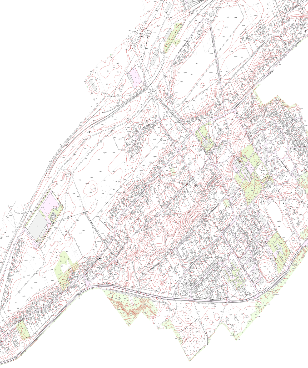
Topographic and geodetic survey of a settlement in the Cherkasy region (scale 1:2000)

A topographic and geodetic survey of the settlement has been carried out at a scale of 1:2000 with the aim of obtaining up-to-date topographic and geodetic data required for the preparation of town planning documentation and the design of construction projects and engineering infrastructure. The work is being carried out to map existing buildings, the transport network, utility networks, the terrain, green spaces, water bodies and other features of the area in accordance with the requirements of current regulatory documents in the fields of geodesy, cartography and town planning.
Get a bespoke
solution for your project
Describe your project—we'll suggest the best solution and workflow.
Start a partnership