Urban Planning Documentation
We develop a comprehensive set of design and planning services to address issues related to development, planning, construction, and land use—from the regional and district levels down to individual plots.



We develop our approach through a systematic and results-oriented approach



A well-defined process, quality control, and compliance with current legislation

We work according to the agreed-upon schedule, ensuring that work is completed on time at every stage of the project.

We carefully check every stage of the work, ensuring high-quality results and compliance with established requirements.
We carry out our work in accordance with current Ukrainian legislation and national building regulations.
We support the project from the initial consultation through the completion of all agreed-upon work.
We maintain constant communication with the client and keep them informed about the progress of the work at every stage.
We develop solutions that take into account the specific characteristics of the area, the needs of the community and local businesses, and the client’s requirements.
Certified specialists with many years of experience work on the projects, ensuring high-quality results.
Analysis of the Territory and Initial Data

Obtaining a cartographic base, source data, and materials regarding national, regional, and neighboring communities’ interests; conducting the necessary research

Preparation of a draft comprehensive plan, master plan, or detailed land-use plan in accordance with the terms of reference, DBN requirements, and applicable laws

Conducting a strategic environmental assessment, public discussions (hearings), review of the project by the architectural and urban planning council, and revising the project based on the results

Submission of a project for review of urban planning documentation (Comprehensive Spatial Development Plan, City Master Plan) and approval regarding land-related issues in accordance with the Land Code of Ukraine

Submission of the project for approval to the relevant council (local self-government body/regional state administration), entry of information into the State Land Cadastre and the Urban Planning Cadastre, and transfer of documentation to the client
Projects that are already being implemented and are operational in communities
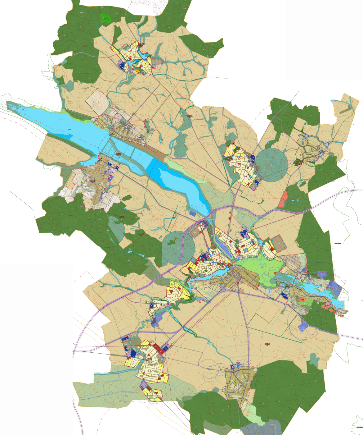

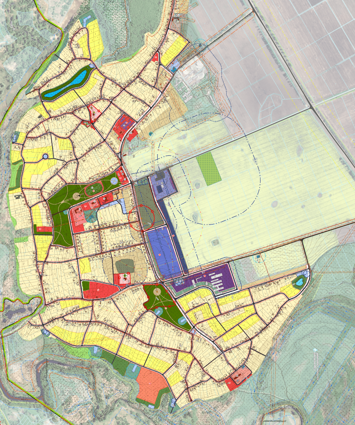
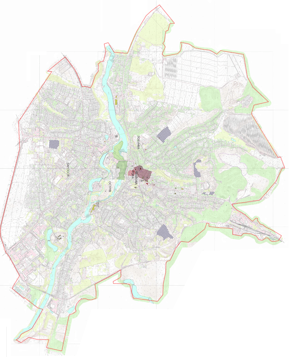
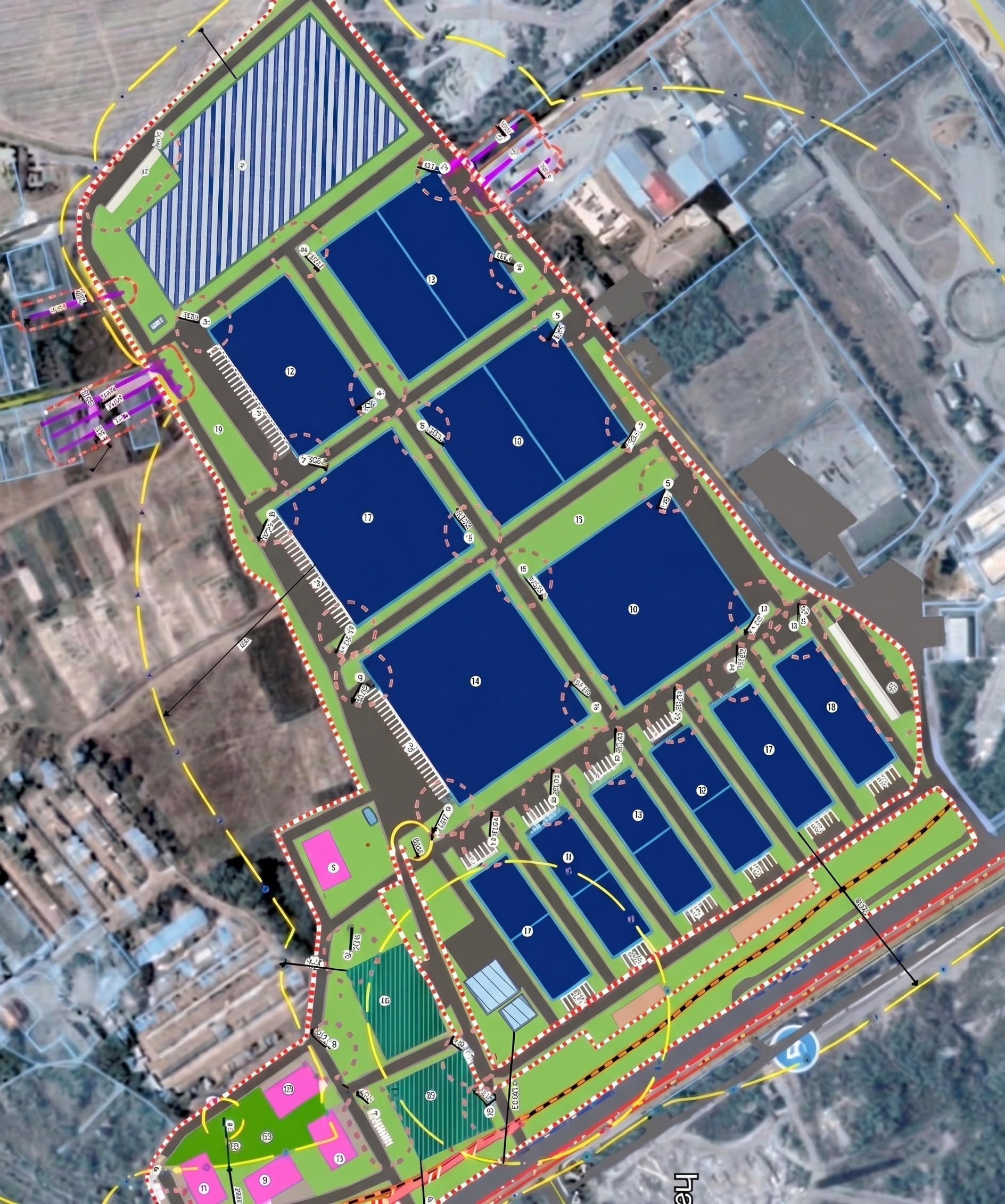
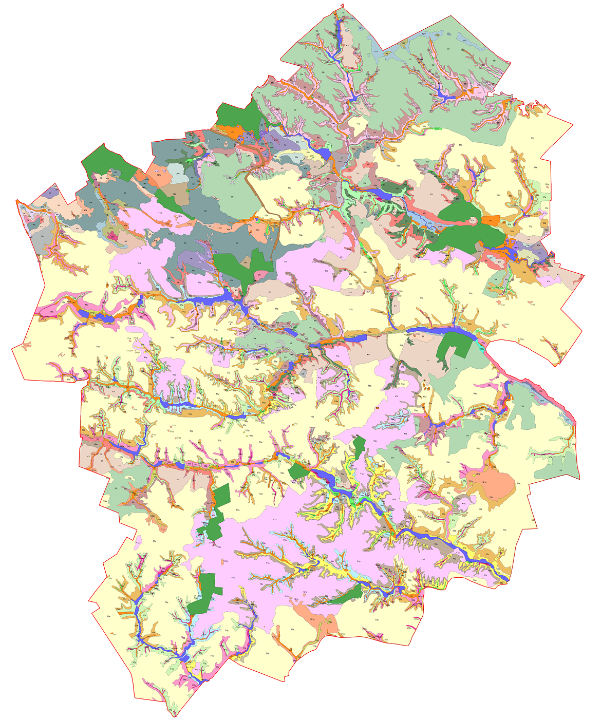
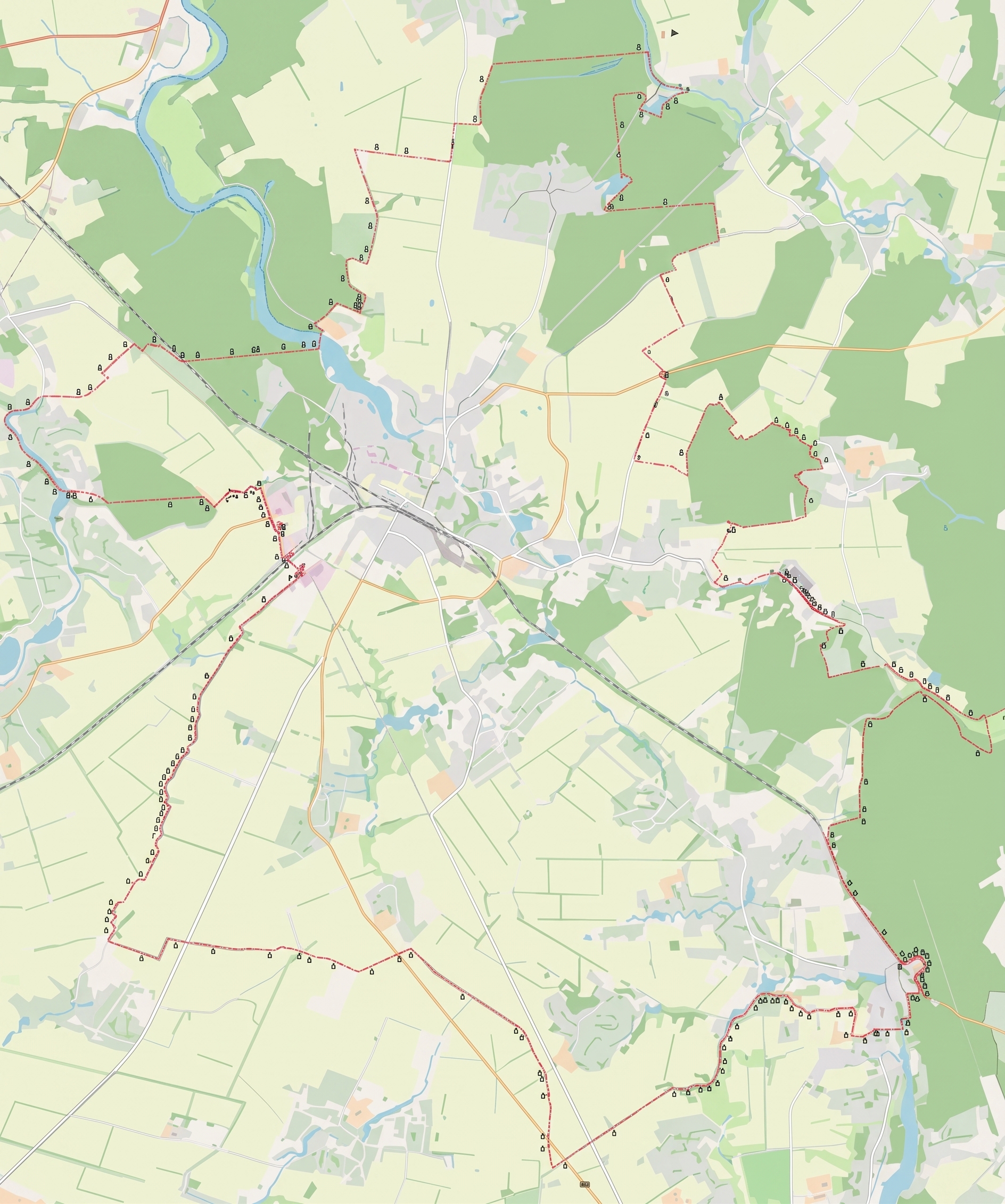
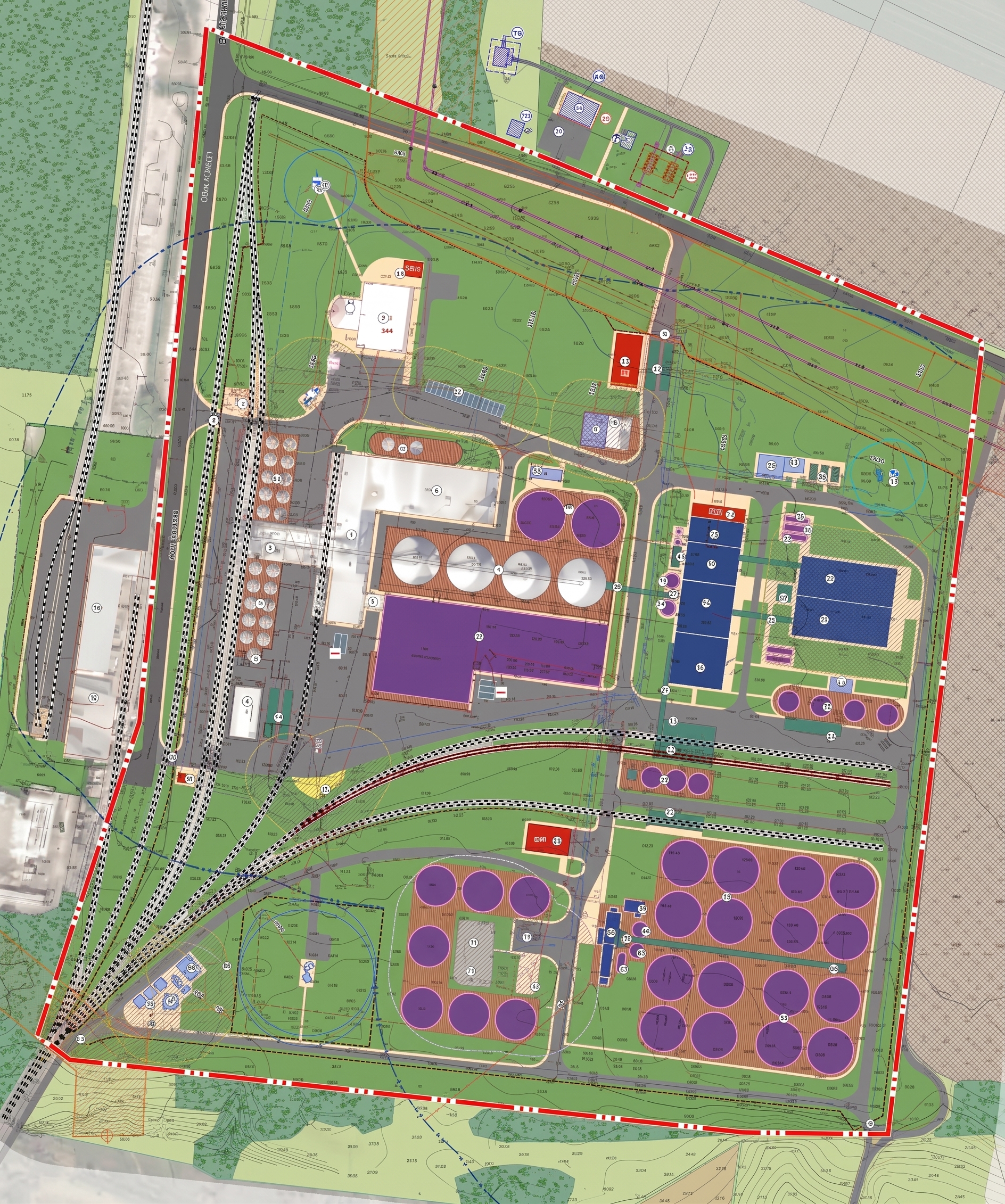
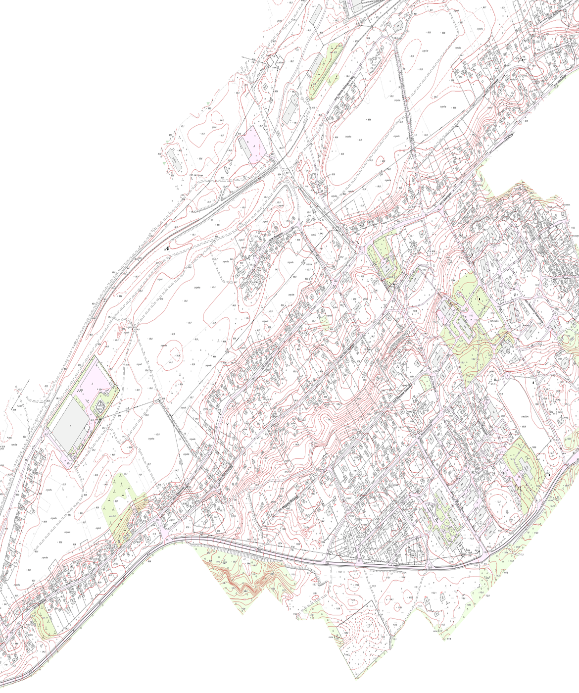
View all projects
learn moreFrequently Asked Questions
Land-use plans for regions and districts
We develop regional-level strategic documents that define the planning structure and functional designations of territories to ensure their balanced development.
What tasks does it address?
- It defines strategic directions for planning, development, and other uses of territories within the relevant administrative-territorial units at the regional level.
- It identifies and justifies promising areas for the location of facilities of national and regional significance, including major utility networks and transportation corridors.
- Establishes the interrelationship between the development of transportation, energy, environmental, and social infrastructure in various districts and adjacent regions.
- It defines regional environmental restrictions, the boundaries of territories and objects within the nature reserve fund, as well as zones with special land use conditions.
- Ensures the integration of regional interests into the national spatial planning system through the entry of geospatial data into the State Electronic Registry.
Service recipients
- Regional state administrations to define strategic directions for planning and the long-term development of the territory of the respective region.
- District state administrations to coordinate the interests of local communities and justify the placement of public facilities within the district.
Comprehensive Spatial Development Plans for Territorial Communities
We are developing a local-level spatial planning document that serves as both urban planning and land management documentation and defines the functional zoning and sustainable development of the entire community’s territory.
What problems does it address?
- It combines, in a single document, the planning of the community’s territory as both urban planning documentation at the local level and land management documentation.
- It defines the functional zones of the community’s territory and establishes restrictions on land use for the placement of industrial facilities, infrastructure, and residential development.
- Ensures the integration of environmental requirements during the preparation of urban planning documentation to prevent negative impacts on the environment and public health.
- Allows for changes to the designated use of land parcels based on the approved comprehensive plan without the need to develop land management projects for their allocation.
- It creates a geospatial data set for mandatory entry into the Urban Planning Cadastre at the national level and integration with the State Land Cadastre.
Service recipients
- The executive bodies of village, town, and city councils, which are the sole legally designated entities responsible for commissioning the development of comprehensive spatial development plans for the territories of local communities.
Master Plans for Settlements
We develop the primary type of local-level urban planning documentation, which sets out the long-term strategy for planning, development, construction, and land use in a city or village.
What issues does it address?
- It addresses fundamental issues regarding the development, planning, construction, and other uses of a settlement’s territory, taking into account state, public, and private interests.
- It establishes the boundaries of the settlement, the functional purpose of its territories, and the sequence of development for the long term.
- It defines the areas and boundaries for the placement of facilities of national, regional, and local significance, including transportation and engineering infrastructure.
- It defines the maximum parameters for the development of land parcels and establishes restrictions within zones subject to special land-use regimes.
- It ensures the creation of a digital geospatial data set for updating the urban planning cadastre and integrating it into state electronic systems.
Service recipients
- The executive bodies of village, town, and city councils (or the respective councils in the absence of such bodies), which are the sole legally designated entities responsible for commissioning the development of master plans for settlements.
Detailed Area Plans
We specify the provisions of the master plan by defining the exact development parameters, red, light blue, and blue lines, as well as urban planning regulations for a specific land parcel or block.
What problems does it address?
- It clarifies the provisions of a comprehensive plan or master plan for a settlement and defines the planning structure and functional purpose of a specific portion of the territory.
- It defines development parameters, number of stories, density, and building lines for specific land parcels, which is a prerequisite for obtaining urban planning conditions and restrictions.
- It justifies the location of specific industrial, residential, or public utility construction projects and defines utility corridors for connecting them to utility networks.
- It establishes regulatory restrictions on development and land use in accordance with current legislation.
- It generates geospatial data sets for the project area for mandatory entry into the State Urban Planning Cadastre and integration with other state registries.
Service recipients
- The executive bodies of village, town, and city councils—for territories within the boundaries of populated areas—as well as district state administrations—for territories outside those boundaries, which are the sole legally designated entities responsible for ordering documentation (including cases where funding is provided by interested individuals and legal entities).
Historical and Architectural Reference Plans
We draw up scientific and design documentation as part of the master plan, which is mandatory for settlements in Ukraine included in the List of Historic Settlements of Ukraine, in order to record cultural heritage sites and establish regulations governing development in historic areas.
What problems does it solve?
- It records the locations of all cultural heritage sites, architectural, archaeological, and historical monuments, defining their boundaries and statuses within the settlement.
- It justifies and establishes the boundaries and usage regulations for monument protection zones and historic areas to preserve the traditional character of the environment.
- It defines urban planning restrictions, building regulation regimes, and the maximum height of new buildings within historic areas.
- It serves as a mandatory scientific and design basis for the subsequent design and development of master plans and detailed area plans.
Service recipients
- The executive bodies of village, town, and city councils in those settlements included in the List of Historic Settlements of Ukraine, for the mandatory inclusion of the IAOP in master plans or comprehensive plans.
Get a bespoke
Describe your project—we'll suggest the best solution and workflow.
Start a partnership